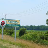
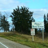
Lambton County, County and upper-tier municipality in Southwestern Ontario, Canada
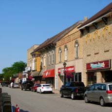
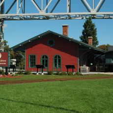
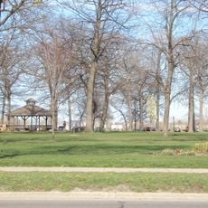
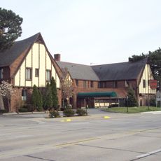
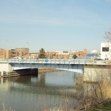
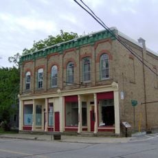
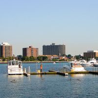
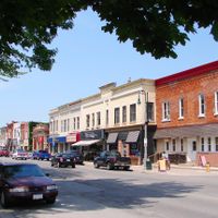
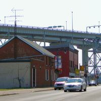
Lambton County stretches from the shores of Lake Huron to the St. Clair River and includes 11 municipalities across a mixed landscape of farms and industry. The area combines rural land with established business parks and town centers scattered across different communities.
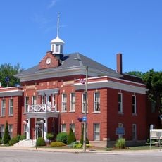
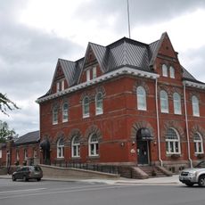
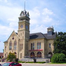
The county was founded in 1849 and named after John Lambton, the 1st Earl of Durham, whose regional visits in the 1830s were significant. These early ties to British Upper Canada set the foundation for the area's later development.
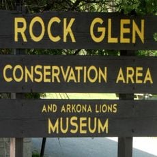
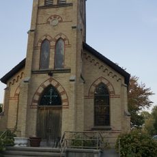
The area is home to Aamjiwnaang First Nation and Kettle and Stony Point First Nation, whose communities shape local traditions and gatherings throughout the region. These connections influence how public spaces are used and celebrated by residents today.
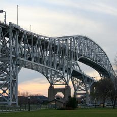
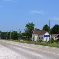
The area is easily accessible by car with good connections between the different communities and clear roads running through the countryside. Visitors should allow time for travel between locations and expect a rural setting throughout.
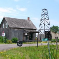
The area maintains a strong agricultural identity, with soybeans, wheat, and grain corn grown extensively and shaping the landscape year-round. These crops form the backbone of the local economy and define how the countryside looks and functions.
The community of curious travelers
AroundUs brings together thousands of curated places, local tips, and hidden gems, enriched daily by 60,000 contributors worldwide.