Petrolia, town in Ontario, Canada
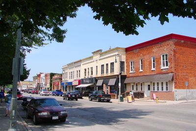
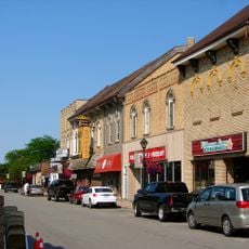
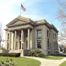
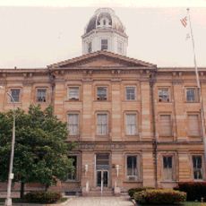
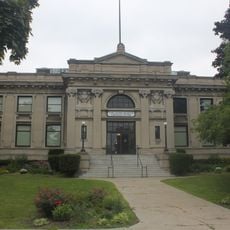
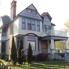
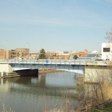
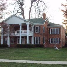
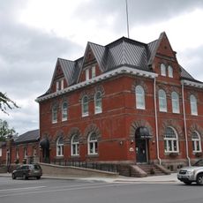
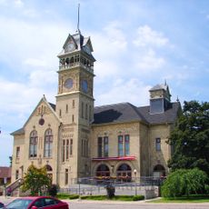
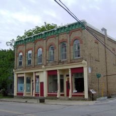
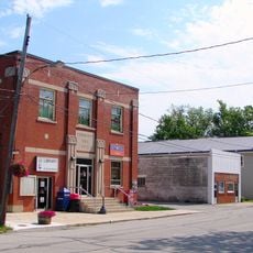
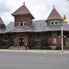
Petrolia is a small town in southwestern Ontario and part of Lambton County. The place features Victorian-style buildings and sits on open, flat land with farms and forests nearby.
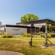
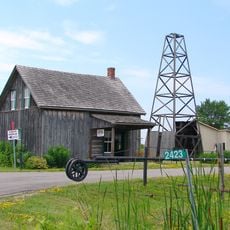
The first oil well in the area was drilled in 1858 nearby, starting the oil industry in North America. Petrolia became a town in 1866 and grew quickly after a large gas deposit was found in 1869, drawing workers and settlers.
The name Petrolia reflects its past as an oil town, and this heritage appears in Victorian buildings throughout the streets. Residents share stories about the oil drilling era at local events and gatherings, keeping this period of their town's life part of everyday conversation.
The town is easy to walk through with simple streets and friendly neighborhoods that invite strolling and biking. Downtown Petrolia has small shops and cafes where you can spend time without needing special planning.
The town has the shortest streetcar track in the world and built one of Canada's first golf courses, showing a spirit of innovation. Oil workers from here traveled far away to places like the Arctic, Iran, and Australia to teach others about drilling techniques.
The community of curious travelers
AroundUs brings together thousands of curated places, local tips, and hidden gems, enriched daily by 60,000 contributors worldwide.