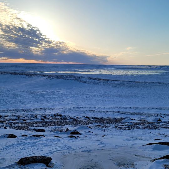
Iqalugaarjuup Nunanga Territorial Park, Territorial park in Kivalliq Region, Canada
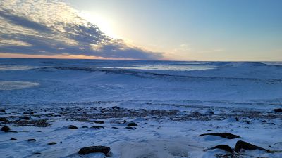
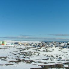
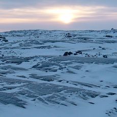
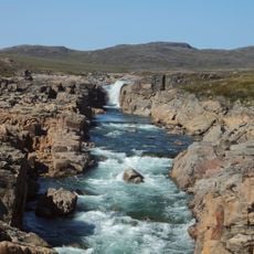
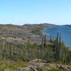
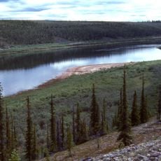
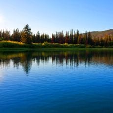
Iqalugaarjuup Nunanga is a territorial park in the Kivalliq Region that spreads across a valley cut by the Meliadine River. The land features esker formations covered with lichen, moss, and glacial deposits that shape its rolling terrain.
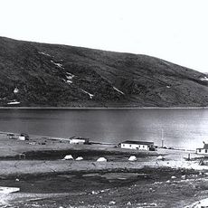
The park holds more than 45 archaeological sites, including house ruins, tent rings and graves. Some remains date to the Pre-Dorset period, 1000 to 500 BC, while the main site, Qamaviniqtalik, was occupied by the Thule from about 1200 to 1775 CE and later by Caribou Inuit, seasonally from late summer to early winter.
The park was long called Ijiraliq, after the river's cliff area and the ijirait, shadow people of Inuit legend who were said to live alongside humans, change shape and vanish at will. The present name refers to the Arctic grayling of the Meliadine River. At Qamaviniqtalik, stone rings mark caribou-skin tents and small hearths held soapstone cooking pots.
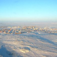
A gravel road from Rankin Inlet reaches the park's south side directly, on foot or by vehicle, 8–10 km northwest of town. The terrain is a river valley with an esker, bedrock outcrops and uneven ground around the sod-house depressions, so sturdy footwear helps. Weather in the Kivalliq changes quickly; bring warm, waterproof clothing.
At Qamaviniqtalik, stone fox traps and caribou hunting blinds sit beside the house depressions, and a kayak garage stored kayaks through the winter while cradles dried them after use. The site was occupied seasonally from about 1200 to 1775 CE, then by Caribou Inuit.
The community of curious travelers
AroundUs brings together thousands of curated places, local tips, and hidden gems, enriched daily by 94,052 contributors worldwide.