Petrie Island, River island in Ottawa, Canada
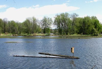
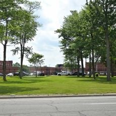
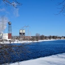
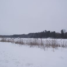
Petrie Island is a chain of connected islands in the Ottawa River stretching about 2 kilometers, formed from clay and sand deposits. The area offers public beaches, hiking trails, a nature center, and spaces for summer activities and winter ice fishing.
The island took shape during the Wisconsin Glacial period roughly 70,000 years ago, when glacier weight reshaped the land. This glacial activity led to the formation of the Champlain Sea and created the Ottawa River's current geography.
The place holds deep meaning for the Anishinaabeg people, whose fishing and hunting traditions shaped life in these waters for thousands of years. Visitors can sense this long connection when walking through the landscape.
The best time to visit depends on whether you prefer summer hiking and beach time or winter ice fishing on the frozen river. Trail conditions vary by season, so prepare for the weather conditions you will encounter.
The wetlands hold 29 rare plant species and the largest collection of hackberry trees in this region of Canada. This botanical diversity makes the island a special place for nature watchers.
The community of curious travelers
AroundUs brings together thousands of curated places, local tips, and hidden gems, enriched daily by 60,000 contributors worldwide.