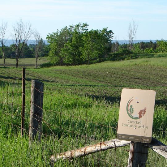
Ottawa Greenbelt, Protected green belt in Ottawa, Canada.
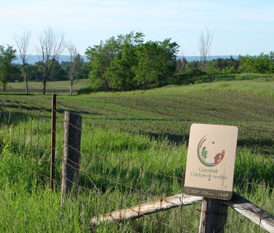
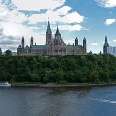
The National Capital Greenbelt is a 203.5-square-kilometre protected belt of green space, forests, farms and wetlands running from Shirleys Bay in the west to Green's Creek in the east. It lies within eight kilometres of Parliament Hill and ranges from two to ten kilometres wide, encircling many of Ottawa's oldest communities. The National Capital Commission owns and manages 149.5 square kilometres; the rest belongs to other federal departments and private owners.
The federal government created this as a greenbelt in 1956 based on a master plan designed to manage the capital's expansion. This decision emerged from efforts to protect the natural surroundings of the nation's capital city.
The Greenbelt's name in French is Ceinture de verdure de la capitale nationale. Its farmland is leased and worked, so visitors pass active fields and barns alongside forests and wetlands. The belt also holds the Central Experimental Farm lands and Green's Creek corridor, where residents walk, cycle and ski on trails.
The Greenbelt spans 203.5 square kilometres from Shirleys Bay in the west to Green's Creek in the east, lying within eight kilometres of Parliament Hill and two to ten kilometres wide. Highway 417 crosses the eastern section and Highway 416 the southwestern part, so several sectors are reached by car. The NCC manages 149.5 square kilometres of it.
Within the area lies a bog containing plant species that normally grow in far northern regions. This unexpected arctic ecosystem exists just kilometers from the city and draws scientific interest.
The community of curious travelers
AroundUs brings together thousands of curated places, local tips, and hidden gems, enriched daily by 94,391 contributors worldwide.