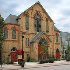
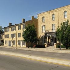
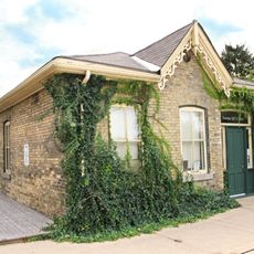
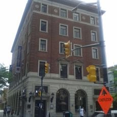
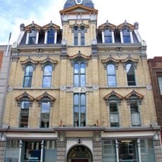
Museum London, Art museum in downtown London, Canada
Museum London is an art museum in downtown London that displays Canadian artworks and regional historical objects. The building holds two main collections that document the area's cultural and social heritage through different forms of artifacts and works.
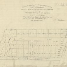
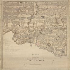
The museum opened in 1940 and grew into an institution dedicated to preserving the area's past and artistic traditions. Over time it became a center for showing how local and national art reflect the region's development and identity.
The museum displays works by local and Canadian artists that reflect the region's creative traditions. You can see how contemporary art connects with the place's identity through rotating exhibitions.
The museum sits at a riverside location in the downtown area and is easy to find and walk to from local streets. Check opening times before visiting, as hours vary and some days may require adjusted planning.
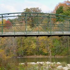
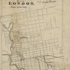
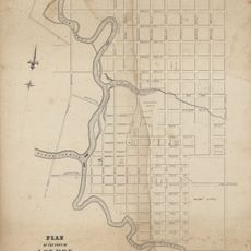
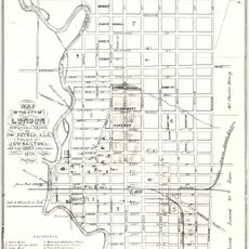
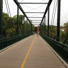
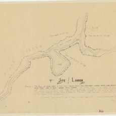
The building sits at the junction where two river branches meet, a location that shaped the area's geography and character. This setting gives the museum a natural connection between the city and surrounding nature that visitors can still observe.
Location: Ontario
Inception: 1940
Website: http://museumlondon.ca
GPS coordinates: 42.98260,-81.25510
Latest update: December 12, 2025 08:01
Labatt Park
312 m
One London Place
773 m
Blackfriars Street Bridge
720 m
Grand Theatre
491 m
Eldon House
250 m
City Centre Towers
773 m
Middlesex County Court House
82 m
London Regional Children's Museum
745 m
London Hydro Substation No. 4
309 m
Plan of laying out the ground of Publick Square, London
841 m
First Christian Reformed Church
444 m
London, Canada West, 1840-1841
841 m
Plan (in pencil) of property in the Village of Petersville
726 m
Sketch of part of the London Township
841 m
Plan of London shewing the gas lamps
841 m
Ridout Street Complex
123 m
350 Talbot Street
376 m
330 Clarence Street
732 m
Map of the Township of London, Canada West, 1863
841 m
Plan of the Town of London, CW, Published by The Craig, London, 1846
841 m
Map of the city of London, surveyed and drawn by Sam'l Peters, P.L.S., published by Geo. Railton, for the London Directory, 1856
841 m
1 Dundas Street
108 m
King Street Bridge
273 m
London and Western Trusts Building
491 m
Former Toronto Dominion Bank Building
815 m
The Site of London
841 m
London Mechanics' Institute
698 m
85 Albion Street
799 mVisited this place? Tap the stars to rate it and share your experience / photos with the community! Try now! You can cancel it anytime.
Discover hidden gems everywhere you go!
From secret cafés to breathtaking viewpoints, skip the crowded tourist spots and find places that match your style. Our app makes it easy with voice search, smart filtering, route optimization, and insider tips from travelers worldwide. Download now for the complete mobile experience.
A unique approach to discovering new places❞
— Le Figaro
All the places worth exploring❞
— France Info
A tailor-made excursion in just a few clicks❞
— 20 Minutes