Timiskaming Graben, Geological depression in Eastern Canada.
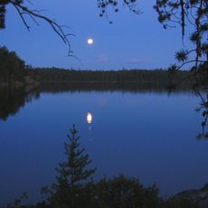
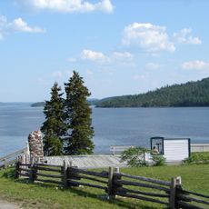
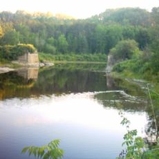
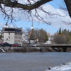
The Timiskaming Graben is a long valley depression that runs between Ontario and Quebec, stretching roughly 400 kilometers and measuring about 50 kilometers across at its widest. The depression contains Lake Timiskaming, which hosts diverse fish populations including northern pike and lake trout throughout its length.
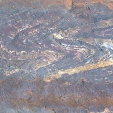
The graben formed approximately 2.4 billion years ago through crustal collapse along the Quinze Dam and Cross Lake faults. This ancient structure ranks among the oldest rift formations in eastern Canada.
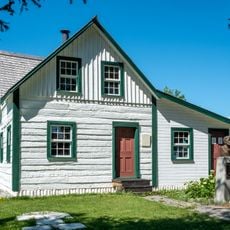
The name Timiskaming comes from the Algonquin word Temikami, referring to deep water. Local communities have long used the lake as a central gathering place and food source.
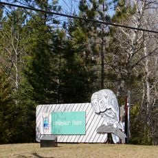
Visitors should prepare for varied terrain and climate conditions across the different sections of the valley that spans both provinces. Summer and early fall offer the most accessible conditions for exploring the area and its surrounding communities.
The area sits within the Western Quebec Seismic Zone, making it an active earthquake region. The 1935 earthquake remains the most powerful recorded event in this part of eastern Canada and reflects ongoing movement in the earth's crust below.
The community of curious travelers
AroundUs brings together thousands of curated places, local tips, and hidden gems, enriched daily by 60,000 contributors worldwide.