
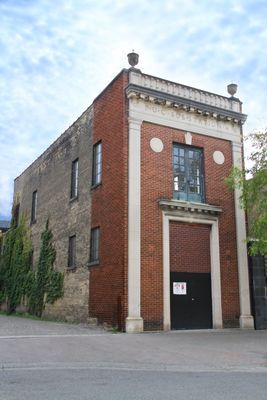
London Hydro Substation No. 4, electrical substation in London, Ontario, Canada
Location: London
Inception: 1924
Part of: Downtown Heritage Conservation District
Address: 119 Carling Street
GPS coordinates: 42.98371,-81.25162
Latest update: March 7, 2025 05:41
Labatt Park
574 m
Victoria Park
595 m
One London Place
465 m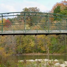
Blackfriars Street Bridge (London Ontario)
730 m
Grand Theatre
248 m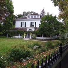
Eldon House
337 m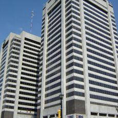
City Centre Towers
465 m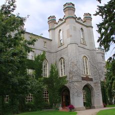
Middlesex County Court House
285 m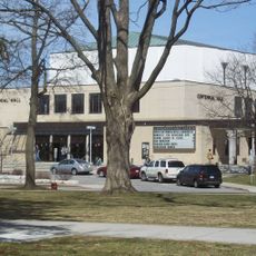
Centennial Hall
728 m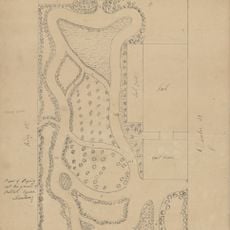
Plan of laying out the ground of Publick Square, London
534 m
First Christian Reformed Church
375 m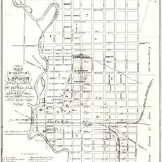
Map of the city of London, surveyed and drawn by Sam'l Peters, P.L.S., published by Geo. Railton, for the London Directory, 1856
534 m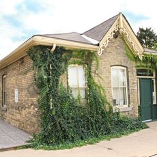
1 Dundas Street
405 m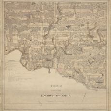
Sketch of part of the London Township
534 m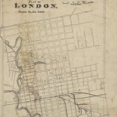
Plan of London shewing the gas lamps
534 m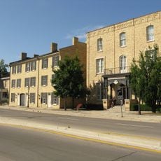
Ridout Street Complex
263 m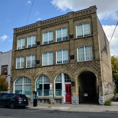
350 Talbot Street
261 m
330 Clarence Street
479 m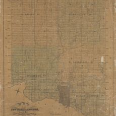
Map of the Township of London, Canada West, 1863
534 m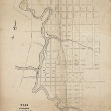
Plan of the Town of London, CW, Published by The Craig, London, 1846
534 m
London, Canada West, 1840-1841
534 m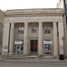
London and Western Trusts Building
275 m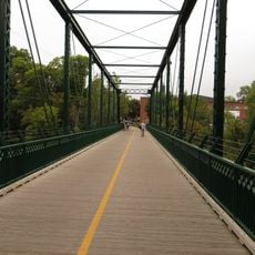
King Street Bridge
549 m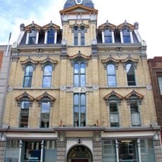
London Mechanics' Institute
394 m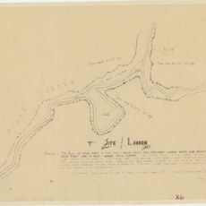
The Site of London
534 m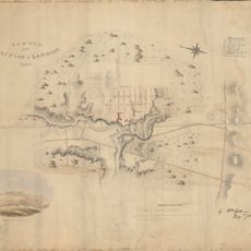
Sketch of the position of London, U.C. Nov'r 1839
534 m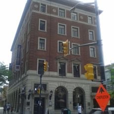
Former Toronto Dominion Bank Building
510 m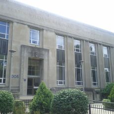
Elsie Perrin Williams Memorial Library
675 mReviews
Visited this place? Tap the stars to rate it and share your experience / photos with the community! Try now! You can cancel it anytime.
Discover hidden gems everywhere you go!
From secret cafés to breathtaking viewpoints, skip the crowded tourist spots and find places that match your style. Our app makes it easy with voice search, smart filtering, route optimization, and insider tips from travelers worldwide. Download now for the complete mobile experience.

A unique approach to discovering new places❞
— Le Figaro
All the places worth exploring❞
— France Info
A tailor-made excursion in just a few clicks❞
— 20 Minutes