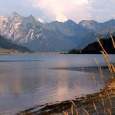
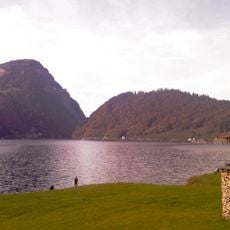
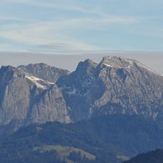
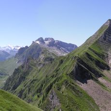
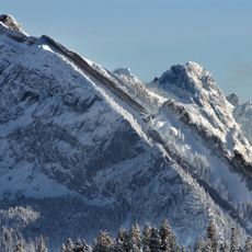
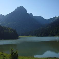
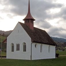
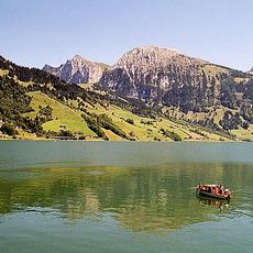
Gross Aubrig, Mountain summit in Schwyz, Switzerland.
Gross Aubrig is a 1,695-metre summit in the Schwyzer Alps, the highest peak of the chain running from the Etzel. It stands on the municipal boundary between Vorderthal and Innerthal, with a rocky north face and a south slope grazed in summer. About two kilometres west lies its lower neighbour, the Chli Aubrig at 1,642 metres.
The Gross Aubrig lies on the municipal boundary between Vorderthal and Innerthal in the canton of Schwyz, on the range separating the Sihl valley from the Wägital. The Alpine Club guide to the Zentralschweizerische Voralpen, published in 1996, documents the routes over the Alp Wildegg and the Alp Dorlaui. The mountain is listed on sheet 1133 (Linthebene) of the 1:25,000 national map, at its south-western edge.
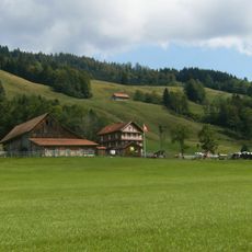
The name Aubrig comes from the Alemannic "Auberg", meaning a mountain of alpine pastures (Alpweiden). The southern slope below the summit is still farmed in summer, while the northern face is rocky and unworked. The peak sits exactly on the municipal boundary between Vorderthal and Innerthal, so a walker crosses from one commune to the other at the top.
Hiking paths to the summit begin at the Sattelegg parking area and initially follow a forest road. The ascent becomes gradually steeper and rockier, so sturdy footwear and good fitness are needed.
On clear days from the summit visitors can see five different lakes at the same time: Zurichsee, Pfäffikersee, Wägitalersee, Sihlsee, and Greifensee. This rare combination of views makes the vantage point special for nature lovers.
The community of curious travelers
AroundUs brings together thousands of curated places, local tips, and hidden gems, enriched daily by 92,654 contributors worldwide.