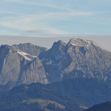
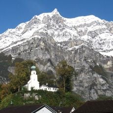
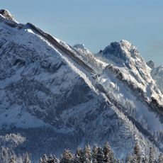
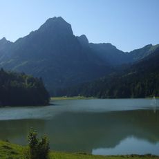
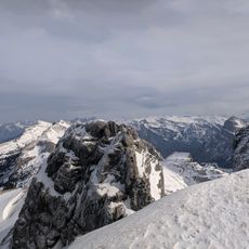
Zindlenspitz, Mountain summit in Schwyz and Glarus, Switzerland
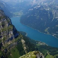
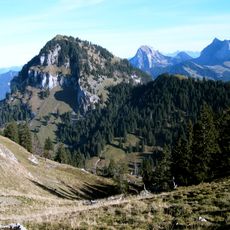
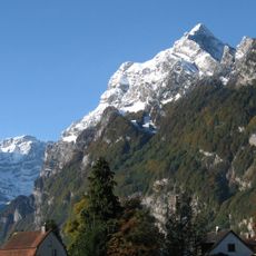
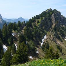
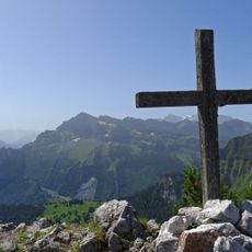
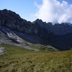
Zindlenspitz is a 2,097 m summit in the Schwyzer Alps, on the ridge between the Wägitalersee and the Obersee, south of the Brünnelistock. The cantonal border between Schwyz (Innerthal) and Glarus (Glarus Nord) runs a few metres east of the top.
The mountain has long served as a natural boundary separating two Swiss cantons in the alpine region. These borders were defined over centuries through geographical features such as this peak.
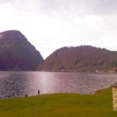
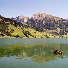
The summit marks the border between the cantons of Schwyz and Glarus, running a few metres east of the highest point; the Schwyz side belongs to the municipality of Innerthal, the Glarus side to Glarus Nord. Hikers usually reach it on a mountain walk from the Wägitalersee, the lake below the range.
Access to the summit is available through several marked hiking trails that vary depending on the starting point. The routes are generally well signposted and require alpine experience and appropriate equipment.
The cantonal border between Schwyz and Glarus runs a few metres east of the summit, so the highest point lies just inside Innerthal (Schwyz). The peak sits on the ridge between the Wägitalersee and the Obersee, south of the Brünnelistock.
The community of curious travelers
AroundUs brings together thousands of curated places, local tips, and hidden gems, enriched daily by 93,656 contributors worldwide.