Piz Giuv, Mountain peak in Glarus Alps, Switzerland
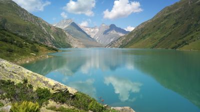
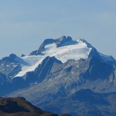
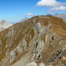
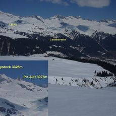
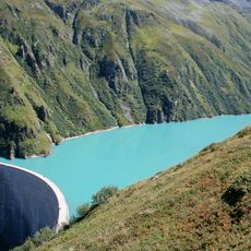
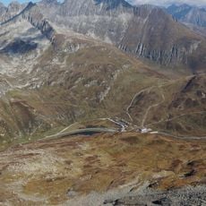
Piz Giuv is a mountain summit in the Glarus Alps standing at 3,096 meters and positioned between three valleys: Fellital, Etzlital to the north, and Val Giuv to the south. The peak sits where these valleys meet, making it a natural landmark in the region.
The mountain first appeared in John Ball's Alpine Guide in 1866, marking its recognition in early mountain exploration records. This documentation showed the region was becoming known to climbers and researchers during that era.
The mountain is known locally by two names, Piz Giuv and Schattig Wichel, reflecting how the border region between Uri and Graubünden blends different language traditions. Visitors may encounter both names in local conversations and on maps.
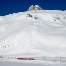
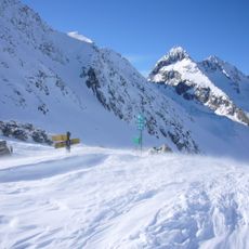
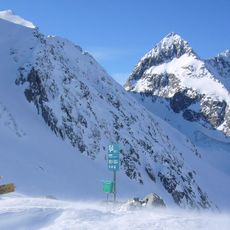
The standard climbing route begins at Etzli hut at 2,052 meters and continues through Fellelifirn toward Fuorcla Piz Nair pass at 2,830 meters. From the pass, climbers proceed to the summit and should carry proper mountain gear and have basic climbing experience.
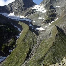
The Spillauibielfirn glacier lies to the northeast and remains the last glacier in this section of the Glarus Alps. This small ice mass illustrates how climate change has reshaped the mountain region.
The community of curious travelers
AroundUs brings together thousands of curated places, local tips, and hidden gems, enriched daily by 60,000 contributors worldwide.