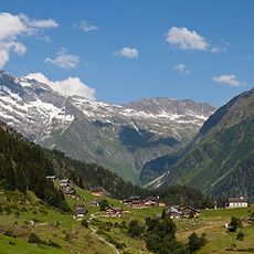
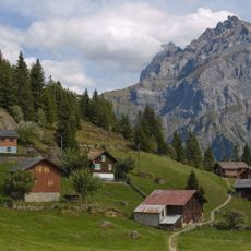
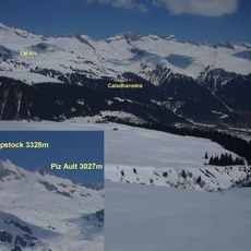
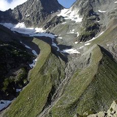
Oberalpstock, Mountain summit in Glarus Alps, Switzerland
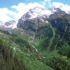
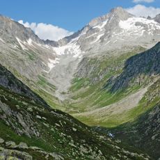
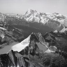
Oberalpstock is a mountain summit in the Glarner Alps rising to 3,328 meters (10,919 feet) between Uri and Graubünden cantons. It forms a natural boundary dividing the Maderanertal and Surselva valleys, creating a distinctive ridge line across the alpine landscape.
The Oberalpstock was first climbed in 1793, by a route from the Cavardirastal over the south-east side and the Brunnifirn; this line is still the normal route today. The south-west flank followed in 1847, and the north-west face was first climbed in 1919. The SAC Cavardirashütte, at 2,649 m, serves as the base for the normal route.
The Romansh name Piz Tgietschen means "red mountain", referring to the rock of the summit. The mountain's name Oberalpstock comes from the Oberalp at its northwestern foot. The Cavardirashütte, run by the SAC Winterthur section, serves as a base for climbers and is a meeting point for alpinists.
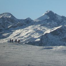
The normal route, used since the 1793 first ascent, climbs from the Cavardirastal over the Brunnifirn to the summit; the Cavardirashütte (2649 m, SAC Winterthur section) is the base. The lower glacier is little crevassed, but the upper section is broken and the route grows harder as the ice retreats. Other routes over the south-west flank, north and west ridges and north-west wall are rated S to ZS, with rockfall risk on loose ground.
The glacier on the mountain's east side is the Brunnifirn, about 2.5 km long and reaching down to roughly 2,600 m; since 1978 it has shortened by about 120 m and no longer extends into the Brunnital. Its lower section is little crevassed and carries the path from Disentis/Mustér to the Cavardirashütte, while the steeper upper part is heavily broken. The much smaller Staldenfirn lies north of the summit.
The community of curious travelers
AroundUs brings together thousands of curated places, local tips, and hidden gems, enriched daily by 93,483 contributors worldwide.