Dübendorf, Municipality in Uster District, Switzerland
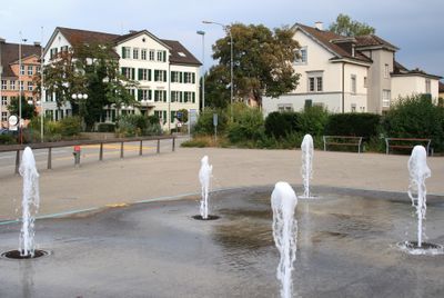
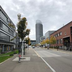
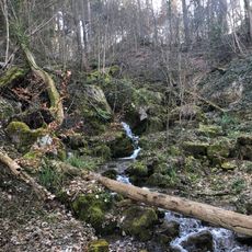
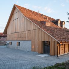
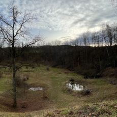
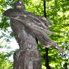
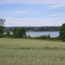
Dübendorf is a municipality in the Uster District combining residential areas, business zones, and natural features like the Glatt river flowing through its landscape. The town includes schools, parks, and research institutions alongside everyday shops and public spaces.
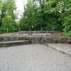
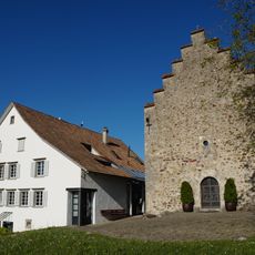
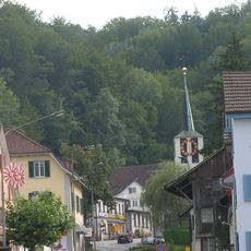
The settlement has roots in prehistoric times with evidence of habitation from ancient periods, and was documented in medieval records as Tuobilindorf. Over centuries, it developed from a rural village into a modern municipality shaped by urban growth.
The municipality maintains multiple educational facilities, research centers like Empa for materials science, and Eawag for water studies at different locations.
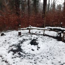
The town is accessible by public transport and offers parking options throughout different neighborhoods. Visitors can find restaurants, cafes, and shops in central areas, with walking paths along the river for exploring the landscape.
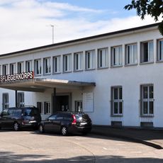
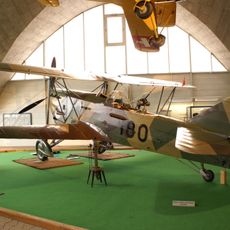
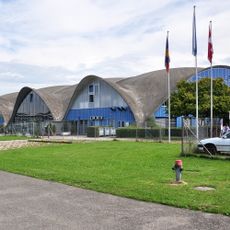
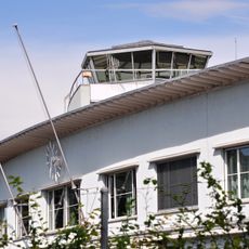
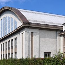
A former airfield now hosts an aviation museum with aircraft from different periods and exhibits on flight technology development. The site preserves the area's connection to aviation history and draws visitors interested in aeronautical heritage.
Location: Uster District
Elevation above the sea: 439 m
Shares border with: Zurich
Website: http://duebendorf.ch
GPS coordinates: 47.39806,8.61944
Latest update: December 7, 2025 09:25
Former civil airport reception building
2.2 km
Zürich Zoo Masoala Hall
3.4 km
Flieger-Flab-Museum
869 m
Jabee Tower
1.5 km
Adlisberg
3.7 km
Loorenkopf tower
3.5 km
Zwicky-Areal
1.5 km
Burg Dübelstein
2 km
Lazariterkirche Gfenn
2.2 km
Katholische Kirche Dübendorf
353 m
Katharina von Siena Fällanden
3.5 km
Giessenturm
507 m
Reformierte Kirche Dübendorf
932 m
Jörentobel
3.6 km
Reformed church
3.2 km
Stefanskirche Hirzenbach
2.6 km
Sankt Gabriel Schwerzenbach
3 km
Neugutviadukt
1.2 km
Kiesgrube Stettbach
2.1 km
Reformierte Kirche Fällanden
3.4 km
Pathé Dietlikon
1.8 km
Milan und Ratte
3.5 km
Flieger-Flab-Museumshangar
956 m
Stationen
4.2 km
Riedspitz, Seefeld, Usserried, Neuhus, Prähistorische Seerandsiedlungsstelle
3.8 km
Unterrichtsgebäude u. Startpavillon
771 m
Schiterburg
2.6 km
Werkstattgebäude 1
789 mVisited this place? Tap the stars to rate it and share your experience / photos with the community! Try now! You can cancel it anytime.
Discover hidden gems everywhere you go!
From secret cafés to breathtaking viewpoints, skip the crowded tourist spots and find places that match your style. Our app makes it easy with voice search, smart filtering, route optimization, and insider tips from travelers worldwide. Download now for the complete mobile experience.
A unique approach to discovering new places❞
— Le Figaro
All the places worth exploring❞
— France Info
A tailor-made excursion in just a few clicks❞
— 20 Minutes