
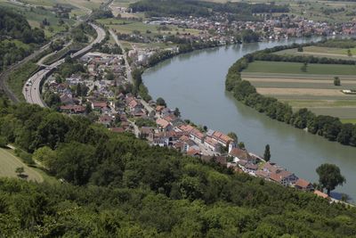
Mumpf, municipality in Switzerland
Location: Aargau
Location: Rheinfelden District
Elevation above the sea: 286 m
Part of: RPV Fricktal Regio
Website: http://mumpf.ch
GPS coordinates: 47.54722,7.91944
Latest update: March 3, 2025 05:17
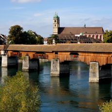
Holzbrücke Bad Säckingen
2.5 km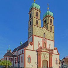
Fridolinsmünster
2.3 km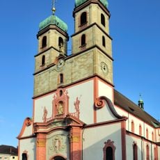
Säckingen Abbey
2.4 km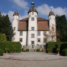
Schloss Schönau
2.2 km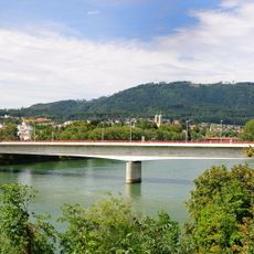
Fridolin bridge
2.2 km
Gloria-Theater
1.9 km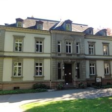
Villa Berberich
2.1 km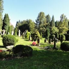
Au-Friedhof
2.2 km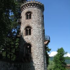
Diebsturm
2.3 km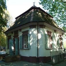
Teehäuschen (Bad Säckingen)
2.6 km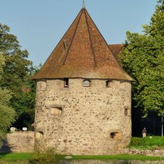
Gallusturm (Bad Säckingen)
2.5 km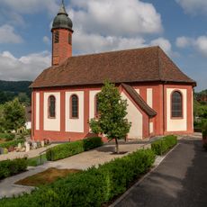
Christ catholic church of St. George
2.9 km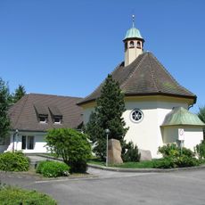
Reformed church
2.4 km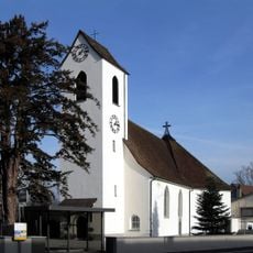
St. Martin parish church
309 m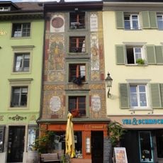
Category:Fuchshöhle (Bad Säckingen)
2.3 km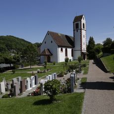
Christ catholic parish church
2.9 km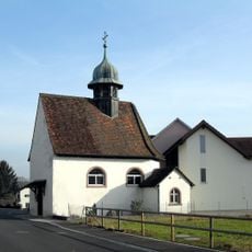
Sebastian chapel
1.6 km
Local museum of Mumpf
391 m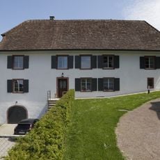
Christ catholic rectory
2.2 km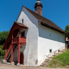
Parish store
2.9 km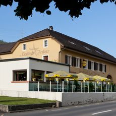
Anker Inn, late Roman small fort, part of the late Roman Rhine fortifications
248 m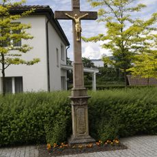
Cross
331 m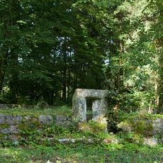
Stelli, part of the late Roman Rhine fortifications
3.1 km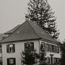
Former Rectory
137 m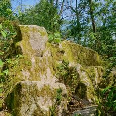
Galgenbuck
1.7 km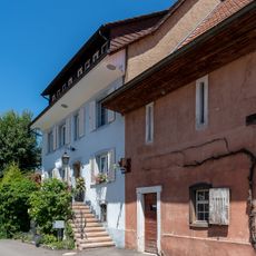
Residential house
2.8 km
Fridolinsinsel
2.4 km
Hainbuchen
2.3 kmVisited this place? Tap the stars to rate it and share your experience / photos with the community! Try now! You can cancel it anytime.
Discover hidden gems everywhere you go!
From secret cafés to breathtaking viewpoints, skip the crowded tourist spots and find places that match your style. Our app makes it easy with voice search, smart filtering, route optimization, and insider tips from travelers worldwide. Download now for the complete mobile experience.

A unique approach to discovering new places❞
— Le Figaro
All the places worth exploring❞
— France Info
A tailor-made excursion in just a few clicks❞
— 20 Minutes