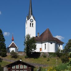
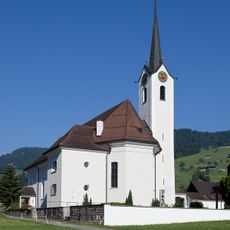
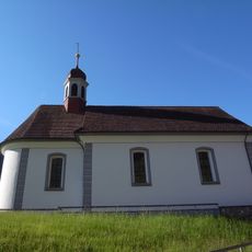
Lungern, municipality in the canton of Obwalden in Switzerland
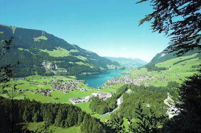
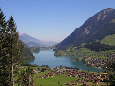
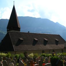
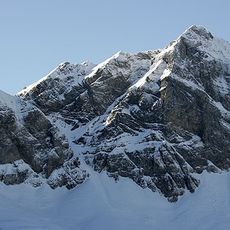
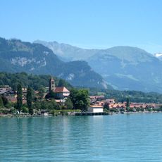
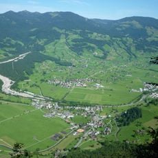
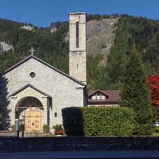
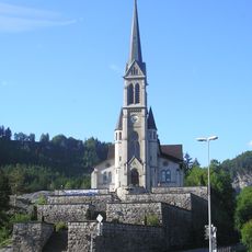
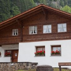
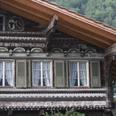
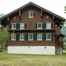
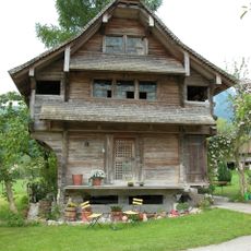
Lungern is a small village in Switzerland situated beside Lake Lungern and surrounded by mountains. The village features old wooden buildings on quiet streets, a train station, and is crossed by a road that runs over the Brünig Pass mountain crossing.
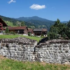
Lungern is first recorded in 1275 under the name Lutigern. The village changed in the 19th century with new roads, and in 1922 a dam was constructed to generate electricity from the lake.
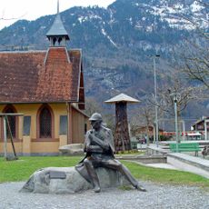
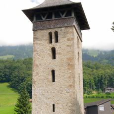
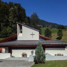
The name Lungern comes from the local heritage and reflects the people who have lived here for centuries. Residents speak German and maintain simple traditional customs that appear during local festivals and gatherings.
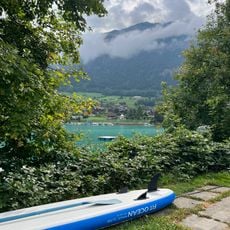
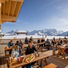
Summer is the best time to visit when the weather is warm and the lake is inviting for swimming. The village is easily reached by train, which runs between Interlaken and Lucerne, and the cable car to Turren provides quick access to the mountains.
The lake is controlled by a dam built in 1922 that regulates water level for electricity generation. This reminds visitors that the landscape has been shaped by people over generations to create energy and living space.
The community of curious travelers
AroundUs brings together thousands of curated places, local tips, and hidden gems, enriched daily by 60,000 contributors worldwide.