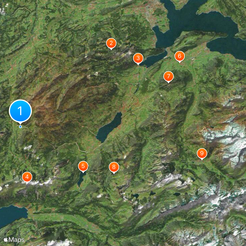
Canton of Obwalden, Canton in Central Switzerland
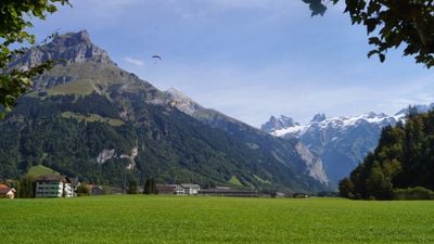
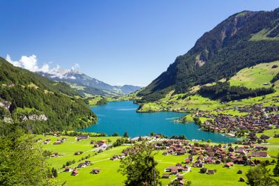
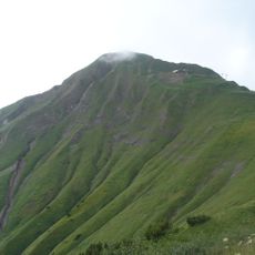
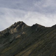
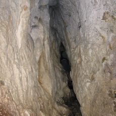
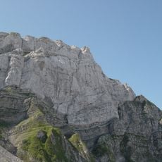
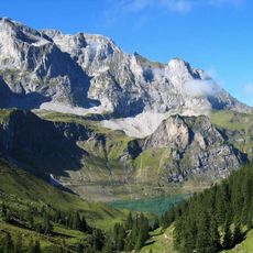
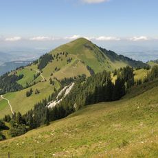
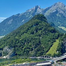
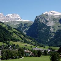
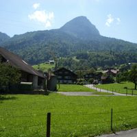
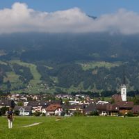
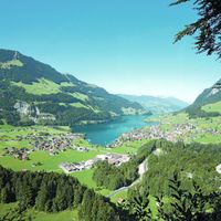
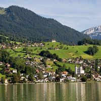
The Canton of Obwalden is an administrative division in central Switzerland that brings together seven municipalities and landscapes stretching from the shores of Lake Lucerne to glaciated peaks. Valleys alternate between gentle meadows and steep rock faces, while small villages nestle on mountain slopes and in sheltered basins.
The territory joined the Swiss Confederation in 1291 as part of Unterwalden and counted among the founding members. Separation from Nidwalden came later through a formal division of the old bailiwick into two independent half-cantons.
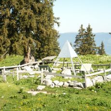
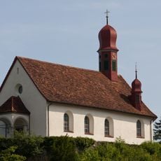
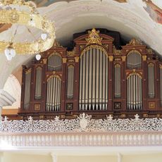
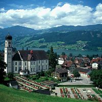
Villages and mountain pastures preserve traces of alpine farming traditions that still shape daily routines across the region. Catholic churches and chapels display richly decorated altars and painted ceilings that have gathered communities for centuries.
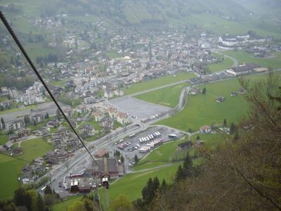
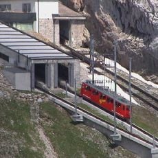
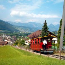
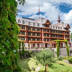
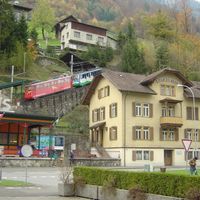
Sarnen serves as the administrative seat and offers travelers information as well as connections to surrounding valleys and mountain regions. Hiking trails and pass roads link communities together and open up higher elevation zones.
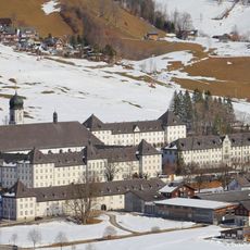
The municipality of Engelberg forms an enclave completely separated from the main territory, even though it belongs politically to this canton. This geographic oddity arose from historical border arrangements reaching back to medieval times.
The community of curious travelers
AroundUs brings together thousands of curated places, local tips, and hidden gems, enriched daily by 60,000 contributors worldwide.