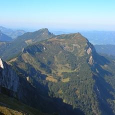
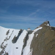
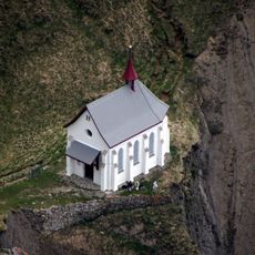
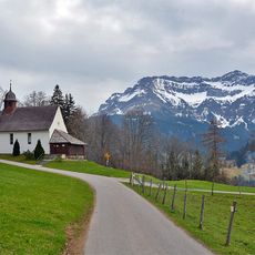
Tomlishorn, Mountain summit in Central Switzerland.
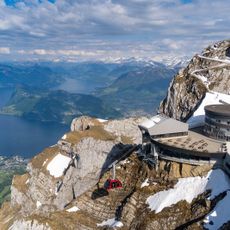
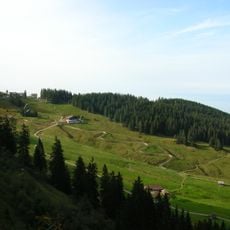
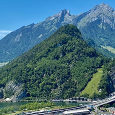
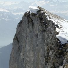
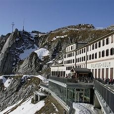
Tomlishorn is a mountain summit in Central Switzerland rising to 2128 meters, visible from many directions across the landscape. The elevation allows visitors to look out over Lake Lucerne and the surrounding Alpine ranges that stretch in different directions.
The area underwent major change when the Pilatus Railway was completed in 1889, bringing visitors into the high Alpine zone. This rail line connected Alpnachstad to the summit region and made the mountain landscape accessible to many more people.
The name derives from Latin tumulus, a rounded swelling, and locals sometimes say Tumlishorn. The old Tomliweg path on the north side was built in 1862 by Kaspar Blättler, hotelier at the Klimsen saddle, with steps and railings; the association Pro Pilatus later restored it as an alpine route.
Visitors reach the summit on foot using marked hiking trails that start from the Pilatus Kulm station and require sturdy footwear. It is important to bring weather-appropriate clothing for changing mountain conditions and allow enough time for the ascent.
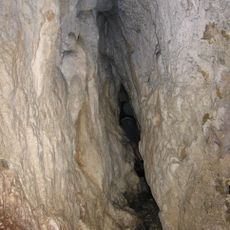
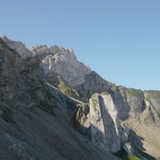
The name Tomlis derives from the Latin tumulus, meaning a rounded swelling; locals sometimes say Tumlishorn instead. The old Tomliweg path through the north wall was built in 1862 by hotelier Kaspar Blättler, with stairs and railings, and later restored by the Pro Pilatus association. On the north-wall route hikers cross narrow bands on the Drusberg/Schrattenkalk boundary before climbing a ramp secured with wire ropes.
The community of curious travelers
AroundUs brings together thousands of curated places, local tips, and hidden gems, enriched daily by 92,781 contributors worldwide.