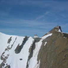
Widderfeld, Mountain summit in Obwalden, Switzerland.
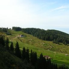
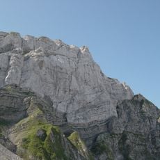
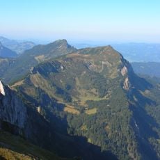
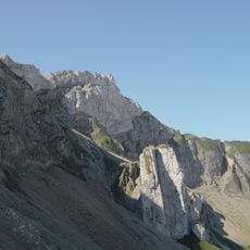
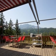
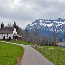
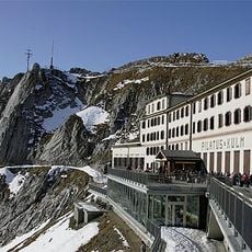
Widderfeld is a mountain summit in Central Switzerland at 2,076 meters elevation, positioned along the border between the cantons of Obwalden and Lucerne. The peak features open slopes and connects to surrounding trails that traverse the Alpine ridge system.
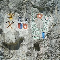
The peak became a geographical boundary marker when regional cantonal borders were established in Swiss administrative history. It marks a meeting point between the territories of Lucerne, Obwalden, and Nidwalden.
The mountain represents a key landmark in the local Alpine landscape, recognized by communities for its role in defining boundaries between regions. Visitors can observe how seasonal grazing shapes the open meadows and pastoral character of the slopes.
The summit is accessible via a T2-grade trail that provides a straightforward hiking route. This path connects to other trails in the surrounding ridge system, allowing visitors to plan longer mountain walks.
What makes this location special is a tripoint junction nearby where three cantons meet at a separate location several hundred meters to the north at a lower elevation. This geographical feature creates a curiosity for those interested in regional boundaries.
The community of curious travelers
AroundUs brings together thousands of curated places, local tips, and hidden gems, enriched daily by 60,000 contributors worldwide.