Hochstollen, Mountain summit in Obwalden, Switzerland
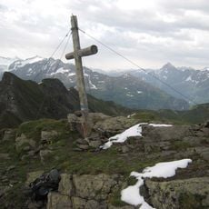
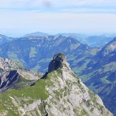
Hochstollen is a mountain summit in the Urner Alps reaching 2,481 meters high. It sits between two valleys in central Switzerland and forms part of the natural border zone between two cantons.
The area has long been used as a natural boundary line between regions. The passage through the Witz Ris col at 2,321 meters has shaped alpine travel and territorial divisions for centuries.
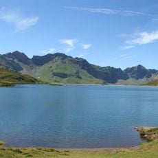
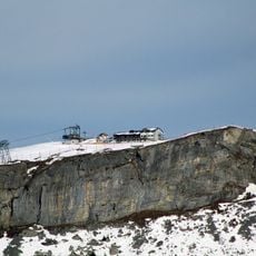
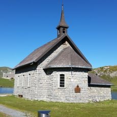
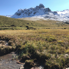
The summit lies above Melchsee-Frutt, a car-free holiday village on the Melchsee plateau in Obwalden, reached by cable car from Stöckalp. The surrounding slopes are mainly grassland, grazed in summer, and the area is sparsely populated, with about 17 inhabitants per square kilometre.
The ascent from Melchsee-Frutt follows marked paths and is best done during warmer months when snow has melted. Visitors should prepare for variable weather and bring appropriate gear for mountain conditions.
The Hochstollen rises 190 metres above the surrounding terrain, and its base measures about 1.0 km across. The nearest larger settlement is Meiringen, roughly 6.5 km to the southwest, while Melchsee-Frutt lies directly on the eastern side. The canton of Bern border runs just south of the summit.
The community of curious travelers
AroundUs brings together thousands of curated places, local tips, and hidden gems, enriched daily by 94,407 contributors worldwide.