Glogghüs, Mountain summit in Urner Alps, Switzerland
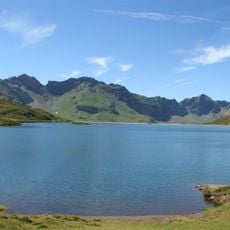
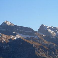
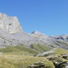
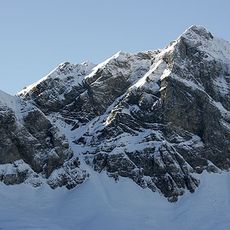
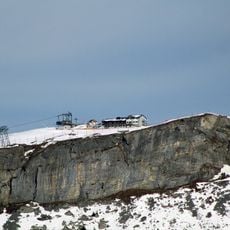
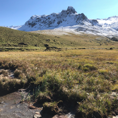
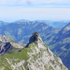
Glogghüs is a 2,534 m summit in the Urner Alps on the border between the cantons of Obwalden and Bern. Its elongated crest joins the areas of Kerns and Hasliberg, and its northern side drops toward the Melchsee and the village of Melchsee-Frutt. A chairlift from Mägisalp serves the mountain.
The mountain became accessible to hikers through Alpine development in the 1800s as mountaineering grew in the region. Routes were gradually established to connect surrounding Alpine pathways and shelter buildings.
The name Glogghüs means "bell house" in the Obwalden dialect, also written Glogghuis locally and Glogghüs in the Haslital dialect. The elongated summit forms the meeting point of the municipalities of Kerns in Obwalden and Hasliberg in Bern, a line walkers cross without noticing.
The summit lies between Melchsee-Frutt to the northeast and the Mägisalp to the southwest, which is served by a chairlift of the Bergbahnen Meiringen-Hasliberg. From the Mägisalp, marked trails lead to the elongated summit; the final section crosses open terrain, so check the weather before setting out.
The elongated summit is where the territories of Kerns (Obwalden) and Hasliberg (Bern) meet, so a walker on the ridge can stand in two cantons at once. The 2,534 m peak rises between Melchsee-Frutt to the northeast and the Mägisalp to the southwest, the latter reached by a chairlift of the Meiringen-Hasliberg cable cars.
The community of curious travelers
AroundUs brings together thousands of curated places, local tips, and hidden gems, enriched daily by 93,502 contributors worldwide.