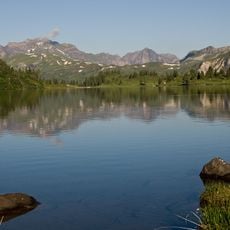
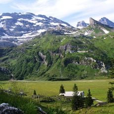
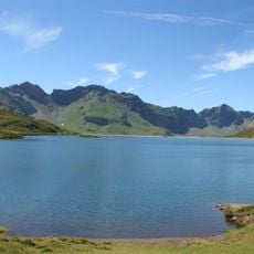
Rotsandnollen, Mountain summit in Obwalden and Nidwalden, Switzerland
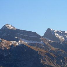
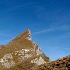
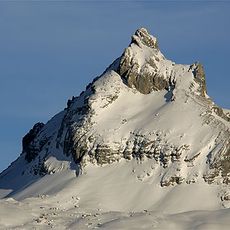
Rotsandnollen is a mountain summit in the Swiss Alps straddling the border between Obwalden and Nidwalden cantons. Its peak rises to 2,700 meters (8,858 feet) above sea level in the central alpine region.
This mountain has long served as a natural border marker between the two cantons in the Swiss alpine region. Its position reflects the historical division of territories in central Switzerland.
Mountain guides from local communities maintain traditional alpine routes to the summit, passing knowledge of safe passage through generations of mountaineers.
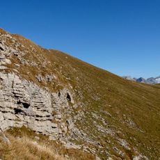
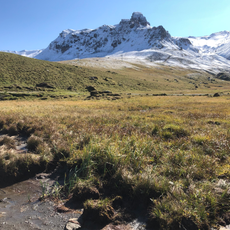
The summit is reached on pathless but relatively easy terrain via the saddle between Barglen and Rotsandnollen, a route graded T2-3 (B, mountain hiker) on the SAC hiking scale. The saddle itself is also reached off-trail, either from Stöckalp via Unter Boden and Wolfisalp or from Bonistock above Melchsee-Frutt, crossing a Schrattenkalk karst field with karren weathering south of the mountain. In winter it is a destination for snowshoe walkers and ski tourers.
The summit is marked by a stone pyramid. It is the highest point in the municipality of Kerns and the highest mountain on the flanks of the Sarneraatal; in Obwalden only the peaks of the Engelberg exclave rise higher.
The community of curious travelers
AroundUs brings together thousands of curated places, local tips, and hidden gems, enriched daily by 94,405 contributors worldwide.