Rotstöckli, Alpine summit in Urner Alps, Switzerland
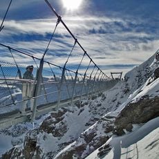
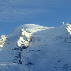
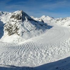
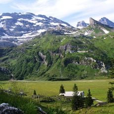
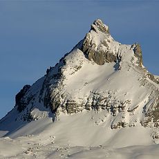
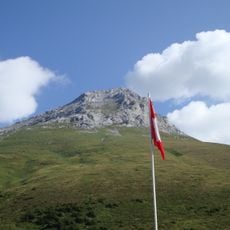
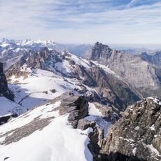
Rotstöckli is a mountain peak in the Urner Alps that rises to 2,901 meters and sits on the border between Obwalden and Nidwalden in central Switzerland. The summit area shows steep rocky terrain and alpine formations typical of this region's harsh mountain landscape.
The border between Obwalden and Nidwalden runs over the summit, which is split between the municipalities of Engelberg and Wolfenschiessen. Because it is Nidwalden's highest point at 2,901 m, the peak appears in cantonal surveying and boundary records rather than in accounts of an ascent or a construction.
The name Rotstöckli is a diminutive of Rotstock, referring to the reddish rock of the summit. The peak lies on the boundary between Engelberg (Obwalden) and Wolfenschiessen (Nidwalden), and as Nidwalden's highest point it appears in cantonal boundary records and local summit lists.
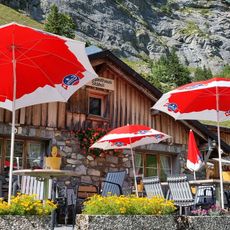
The route Stand-Rotstöckli requires experienced climbers with solid mountain skills and technical knowledge. The Skihütte Stand mountain hut sits roughly 800 meters away and offers shelter and basic facilities for climbers on the approach.
The Rotstöckli is the highest point in the canton of Nidwalden, yet its summit is split between two municipalities: Engelberg in Obwalden and Wolfenschiessen in Nidwalden. The rock peak rises about 1,000 metres northwest of the Titlis summit out of the Titlis Glacier. Sources give its height as 2,900 or 2,901 metres.
The community of curious travelers
AroundUs brings together thousands of curated places, local tips, and hidden gems, enriched daily by 94,479 contributors worldwide.