
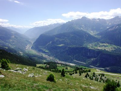
Faido, municipality in the canton of Ticino in Switzerland
Location: Faido Subdistrict
Elevation above the sea: 711 m
Shares border with: Acquarossa, Giornico, Lavizzara, Quinto, Sonogno, Prato, Frasco, Dalpe, Sobrio
Website: https://faido.ch
GPS coordinates: 46.48333,8.80000
Latest update: March 8, 2025 01:38
Chiesa di San Nicolao
10.8 km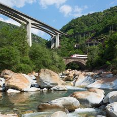
Biaschina viaduct
8.3 km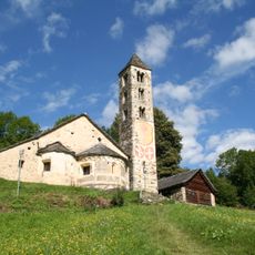
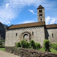
San Carlo a Negrentino Church
9.7 km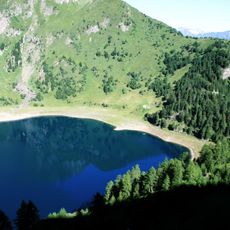
Lago Tremorgio
6.1 km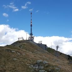
Matro
12.5 km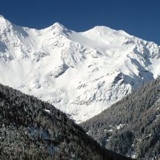
Pizzo Campo Tencia
8.2 km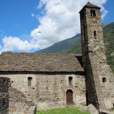
Santa Maria del Castello Church
10.7 km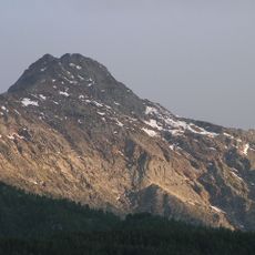
Pizzo Forno
5.9 km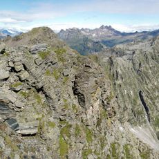
Pizzo Barone
9.7 km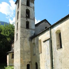
San Pellegrino Church
9.3 km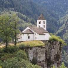
San Martino Parish Church
4.6 km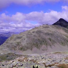
Pizzo del Sole
5.3 km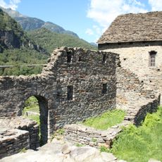
Castello di Santa Maria
10.6 km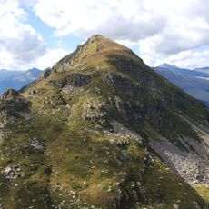
Pizzo Erra
8.7 km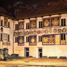
Museum of Leventina
10.8 km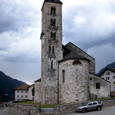
Santi Pietro e Paolo Parish Church
7.5 km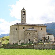
Santi Lorenzo e Agata Parish Church
2.1 km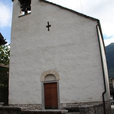
Chiesa di Sant'Ambrogio
7.5 km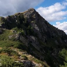
Cogn
11.7 km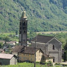
Chiesa di San Michele
10.9 km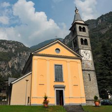
Santo Stefano
14.4 km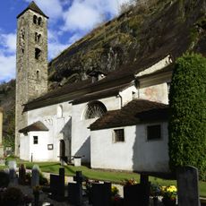
Church of Santa Maria Assunta
2.5 km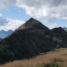
Pizzo Pianché
9.9 km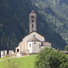
San Giorgio Parish Church
3.5 km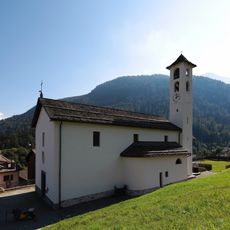
Santi Carlo e Bernardo Parish Church
2.2 km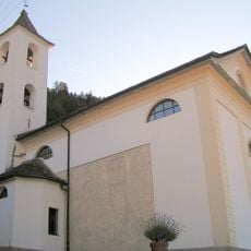
Chiesa di Sant'Atanasio
572 m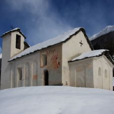
San Martino Oratory
6.9 km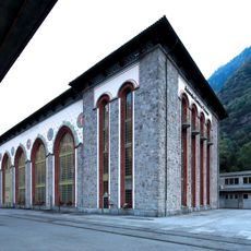
Piottino power plant
5.9 kmVisited this place? Tap the stars to rate it and share your experience / photos with the community! Try now! You can cancel it anytime.
Discover hidden gems everywhere you go!
From secret cafés to breathtaking viewpoints, skip the crowded tourist spots and find places that match your style. Our app makes it easy with voice search, smart filtering, route optimization, and insider tips from travelers worldwide. Download now for the complete mobile experience.

A unique approach to discovering new places❞
— Le Figaro
All the places worth exploring❞
— France Info
A tailor-made excursion in just a few clicks❞
— 20 Minutes