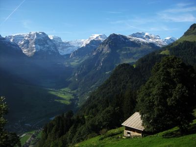
Glarus Alps, Mountain range in central Switzerland.
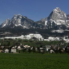
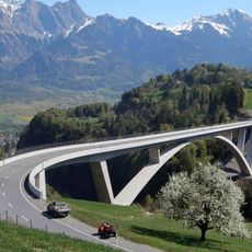
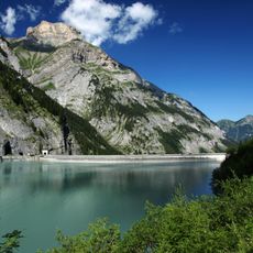
The Glarus Alps span four cantons with more than 440 named peaks, where Tödi reaches 3,614 meters as the highest point. The range displays diverse rock formations and valleys shaped by glaciers and rivers across its terrain.
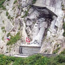
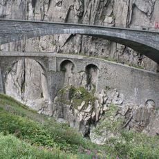
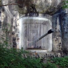
Millions of years ago these mountains formed through the shifting of rock layers, creating the Glarus thrust structure. This geological feature gained UNESCO World Heritage recognition in 2008 for its scientific importance.
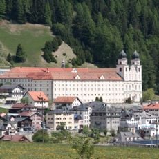
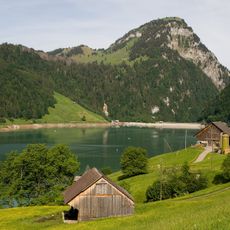
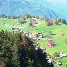
The valleys below host communities that have raised cattle and made cheese for centuries, shaping the landscape with pastures and mountain huts that remain central to daily life here.
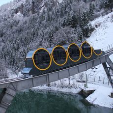
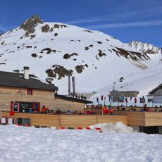
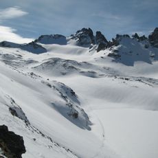
Summer months offer the best time to explore the range on over 100 kilometers of hiking paths connected by cable cars and cog railways. The trails remain mostly snow-free from June through September, making this season ideal for trekking.
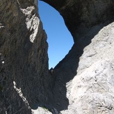
Within the Swiss Tectonic Arena Sardona section, visitors can see rock layers stacked horizontally that reveal how mountains form through internal forces. These visible strata tell the story of how the earth's crust shifts and builds upward.
The community of curious travelers
AroundUs brings together thousands of curated places, local tips, and hidden gems, enriched daily by 60,000 contributors worldwide.