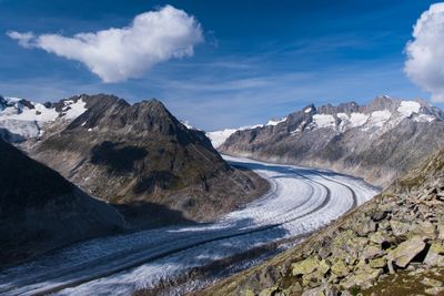
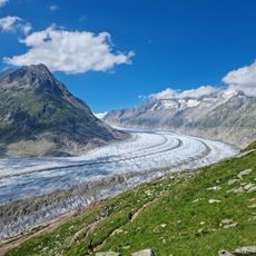
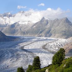
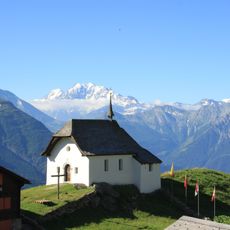
Aletsch Glacier, Valley glacier in Jungfrau-Aletsch protected area, Switzerland.
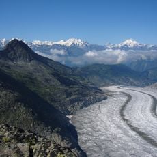
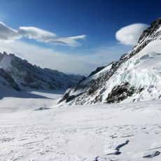
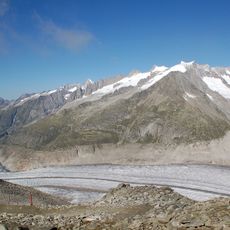
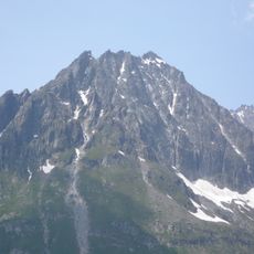
The glacier stretches 23 kilometers through the Bernese Alps, forming the longest ice stream in the entire Alpine region. Its surface shows a pattern of crevasses, exposed rock debris, and deep ice channels that shift in appearance under changing light throughout the day.
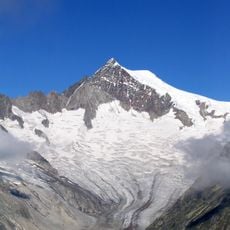
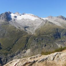
During the last ice age around 18,000 years ago, ice covered the ridges between Bettmerhorn and Riederhorn completely, leaving only the highest peaks visible above the frozen surface. Naturalists in the 19th century began mapping and measuring glacial movement, documenting the slow changes that continue today under warmer conditions.
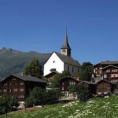
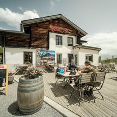
The protected area holds deep importance for local communities, who have depended on alpine environments for generations and now share that knowledge through guided programs and educational efforts. Visitors often encounter rangers and naturalists explaining how glacial retreat affects farming, water supply, and the rhythm of mountain life across the valley.
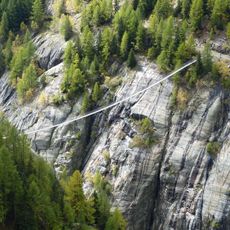
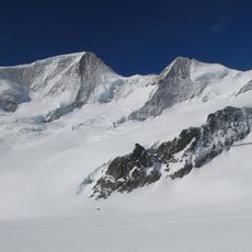
Visitors reach viewing points at Eggishorn, Bettmerhorn, and Moosfluh through cable cars that run during the main season. Early morning or late afternoon offers the clearest views, as fog is less common during those hours and the changing light brings out details in the ice surface below.
At Konkordiaplatz, where four smaller glaciers merge, ice beneath the surface reaches a thickness of roughly one kilometer. Under that weight, the ice creeps downhill at a rate of several dozen meters each year, carving channels and forming moulins as it moves.
The community of curious travelers
AroundUs brings together thousands of curated places, local tips, and hidden gems, enriched daily by 60,000 contributors worldwide.