Madrisahorn, Mountain summit in Klosters, Switzerland.
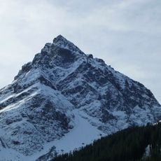
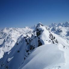
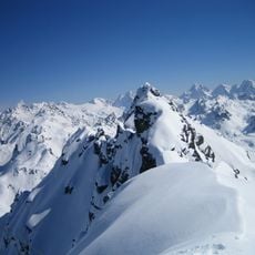
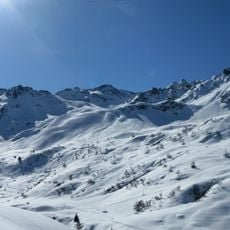
Madrisahorn rises to 2,826 meters above sea level as the seventh highest peak in the Rätikon mountain range, featuring three prominent ridges extending northeast, southeast, and west toward Rätschenjoch.
The Madrisahorn appears in the alpine literature of the late 19th century: Wilhelm Strauss contributed the Rätikon chapter to Eduard Richter's Die Erschließung der Ostalpen, published in Berlin in 1893 by the German and Austrian Alpine Club. Later standard references are Günther Flaig's Alpenvereinsführer Rätikon (1989) and Manfred Hunziker's Ringelspitz/Arosa/Rätikon (2010). The Swiss national map sheet 1177 Serneus at 1:25,000 records the summit and its approaches.
The name Madrisa is used for both this peak and the 2,770-metre Gargeller Madrisa above Gargellen in Austria, about 2 km away; to keep them apart, locals say Klosterer Madrisa and Gargellener Madrisa. The Madrisa area at the south foot is an alp in summer and a ski area reached from Klosters in winter, with lifts and pistes.
Access to the summit typically begins from Klosters via cable car to approximately 1,887 meters elevation, followed by a three-hour hiking route through Gafier Valley and across Gafierjoch pass.
The normal route from Gafia (1,747 m) crosses the Gafier Platten and a firn field on the north flank before easy UIAA I scrambling to the summit, about three hours. The UIAA II climbing routes lie on the southwest flank and the ridges, not the north face. The peak is also called Klosterer Madrisa to distinguish it from the Gargellener Madrisa (2,770 m) above Gargellen, separated by the Madrisajoch (about 2,610 m).
The community of curious travelers
AroundUs brings together thousands of curated places, local tips, and hidden gems, enriched daily by 94,023 contributors worldwide.