Ruchi, Mountain summit in Grisons, Switzerland
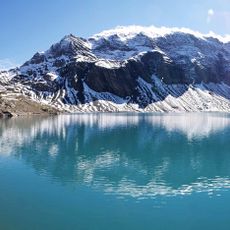
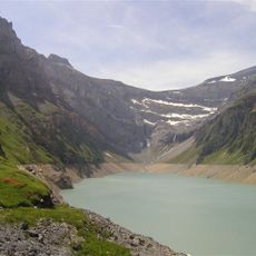
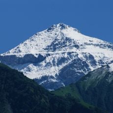
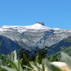
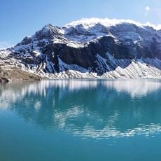
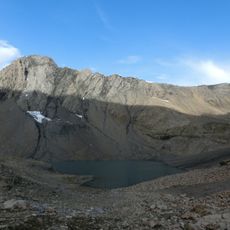
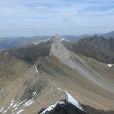
Ruchi is a mountain summit in the Swiss Alps that rises to around 3,100 meters (10,170 feet). The peak is defined by a marked north-south ridge that separates the Muttsee area from glacier-filled cirques.
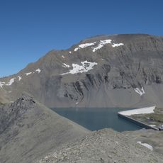
The mountain sits in an area that was modified by the construction of a pump storage power station at Muttsee Lake during the 2010s. The facility uses the natural topography of the region for energy generation.
The name Ruchi comes from Swiss German ruch, meaning rough, and refers to barren scree slopes. The summit holds a wind station of the Intercantonal Measurement and Information System (IMIS), one of 160 such stations run with the SLF snow and avalanche research institute. It measures wind speed and direction, air temperature and humidity every half hour, supplying avalanche warning services across Switzerland.
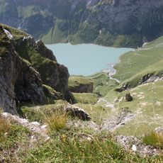
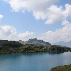
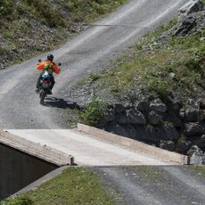
The best route starts from Muttseehütte and follows marked trails through meadows and rocky terrain. The ascent is demanding, so bring solid mountaineering gear and experience with alpine conditions.
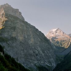
The mountain marks the natural border between the cantons of Glarus and Graubünden, offering views of the surrounding peaks of Tödi and Bifertenstock. This geographic position makes it an interesting point for exploring the region's geology and topography.
The community of curious travelers
AroundUs brings together thousands of curated places, local tips, and hidden gems, enriched daily by 92,721 contributors worldwide.