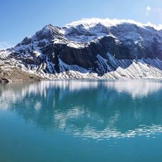
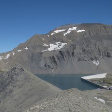
Limmernsee, reservoir
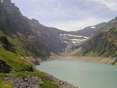
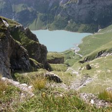
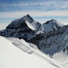
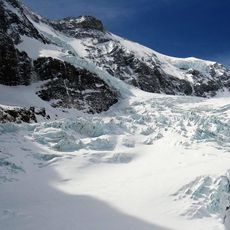
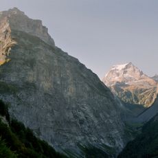
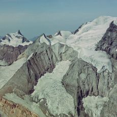
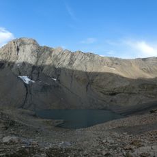
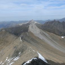
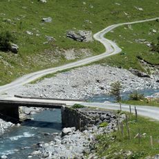
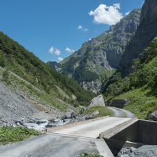
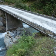
Limmernsee is a reservoir in the southern canton of Glarus, sitting at 1,857 meters high and surrounded by steep mountains like the Kistenstöckli, Selbsanft, and Muttenchopf. Several mountain streams, including the Muttenbach and Limmernbach, feed the water, which stretches for about three kilometers through an impressive alpine landscape.
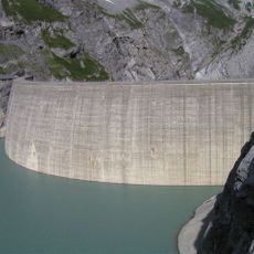
The dam was built to store water and generate electricity, becoming a standard practice in Swiss mountains for decades. The storage system works like a giant battery, using excess energy to pump water from this lower basin up to the higher Muttsee, then releasing it to produce power when needed.
The name Limmernsee comes from the mountain streams that feed it, reflecting how the local communities have long been tied to their alpine surroundings. The area shows how people here have learned to live alongside the landscape, using the water for storage and power while keeping it open for visitors to enjoy the natural beauty.
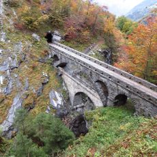
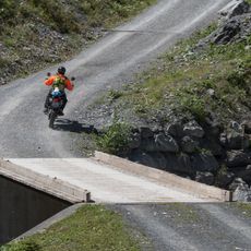
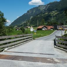
You can reach the lake by foot using marked trails with white and red blazes, or by cable car from the town of Linthal, both easily accessible from Glarus Süd. Summer temperatures stay cool at this elevation, so bringing layers and warm clothing helps you stay comfortable during longer visits.
The site works as a giant pumped-storage system that uses extra energy to push water uphill into the Muttsee at night, then releases it downhill during the day to create power. This clever blend of mountain setting and engineering shows how Swiss hydro systems turn water into a tool for storing and releasing energy on demand.
The community of curious travelers
AroundUs brings together thousands of curated places, local tips, and hidden gems, enriched daily by 60,000 contributors worldwide.