
Latelhorn, mountain shared by Switzerland and Italy
Location: Valais
Elevation above the sea: 3,204 m
GPS coordinates: 46.04447,8.03478
Latest update: May 2, 2025 22:38
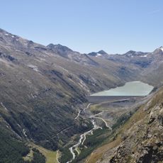
Lake Mattmark
5.8 km
Cingino Dam
1.6 km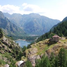
Alta Valle Antrona Natural Park
3.5 km
Portjengrat
6.3 km
Diga di Mattmark
5.9 km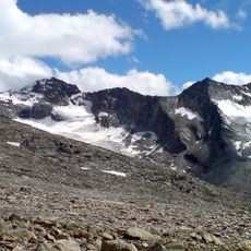
Pizzo Bottarello
3.4 km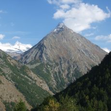
Almagellhorn
5.7 km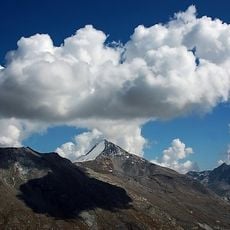
Stellihorn
2.8 km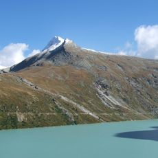
Spechhorn
4.4 km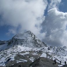
Joderhorn
6.5 km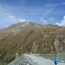
Nollenhorn
3.7 km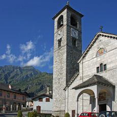
San Lorenzo
6.4 km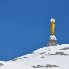
Madonnina d'oro delle nevi
6.6 km
Punta della Forcola
6.2 km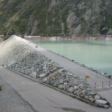
Mattmark dam
5.9 km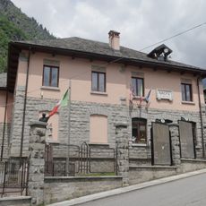
Town hall of Antrona Schieranco
6.4 km
Marigal
6.2 km
Pizzo Torrigia
6.6 km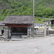
Lavatoio (via Pasquer)
6.5 km
Pizzo Lame
5 km
Punta di Trivera
6 km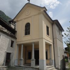
Oratorio della Beata Vergine della Neve
6.6 km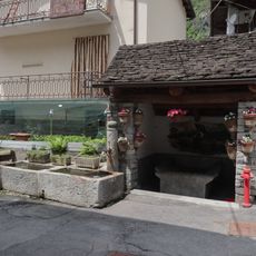
Lavatoio (via Sant'Anna)
6.4 km
Punta Laugera
4.5 km
Cresta delle Lonze
4.5 km
Pizzo S. Martino
5.7 km
Punta della Rossa
1.1 km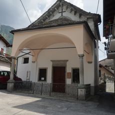
Oratorio di Sant'Anna
6.4 kmReviews
Visited this place? Tap the stars to rate it and share your experience / photos with the community! Try now! You can cancel it anytime.
Discover hidden gems everywhere you go!
From secret cafés to breathtaking viewpoints, skip the crowded tourist spots and find places that match your style. Our app makes it easy with voice search, smart filtering, route optimization, and insider tips from travelers worldwide. Download now for the complete mobile experience.

A unique approach to discovering new places❞
— Le Figaro
All the places worth exploring❞
— France Info
A tailor-made excursion in just a few clicks❞
— 20 Minutes