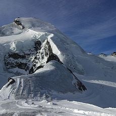
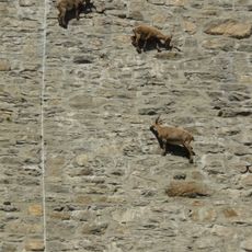
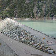
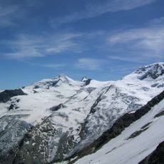
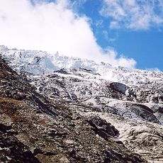
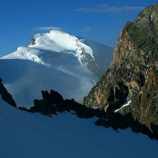
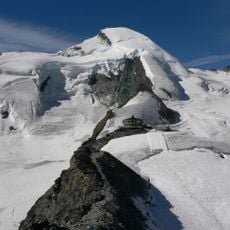
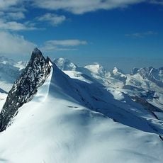
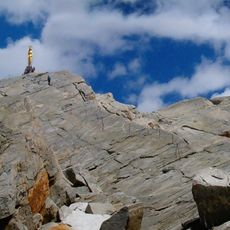
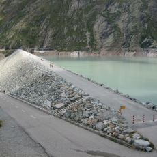
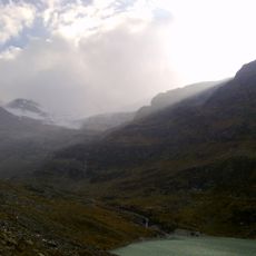
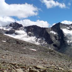
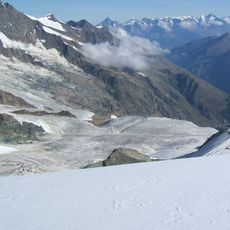
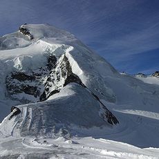
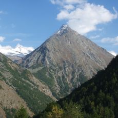
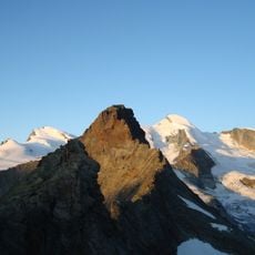
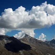
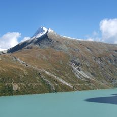
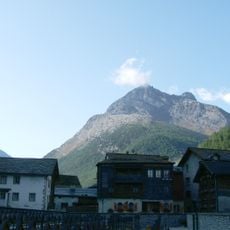
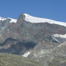
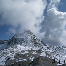
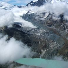
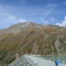
Lake Mattmark, Alpine reservoir in Saas-Almagell, Switzerland.
Lake Mattmark is a reservoir at 2,197 m in the Saas Valley, held back by a 120 m high, 780 m long embankment dam built largely from morainic material from the Mattmark plain. Its surface covers 1.76 km² and holds 101 million m³ of water, which drives the Mattmark power plants.
The dam was decided on 28 June 1955, preparatory work began that year and construction started in May 1960. On 30 August 1965 a tongue of the Allalin glacier collapsed, burying 88 workers, 56 of them Italian, under 2,000,000 m3 of ice and debris; work then ran until 1967. Power production began in 1968 and the reservoir was inaugurated on 25 June 1969 by Bishop Nestor Adam.
The name Mattmark comes from the alpine meadow that once filled this valley floor, the largest Alp in the Saas Valley before the dam. The old natural lake's outburst floods of 1589, 1633, 1680 and 1772 are remembered locally: after the 1633 flood, families vowed not to marry until the valley floor was restored, and no wedding took place in the Saas parish for fourteen years.
The circular trail around the water is easy to walk and takes about two and a half hours without major climbs. Summer is the best time to hike when snow has melted and the paths are dry.
The dam is a 120 m high, 780 m long embankment built largely from morainic material taken directly from the Mattmark plain. Its reservoir holds 101 million m³ of water and covers 1.76 km². The power plant's catchment area totals 88 km², fed by the Allalin and Hohlaub glaciers.
The community of curious travelers
AroundUs brings together thousands of curated places, local tips, and hidden gems, enriched daily by 93,921 contributors worldwide.