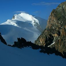
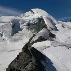
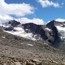
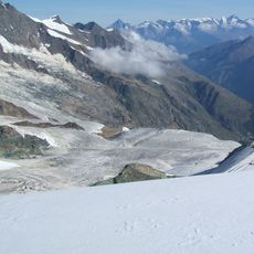
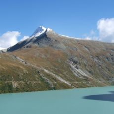
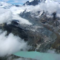
Diga di Mattmark, Hydroelectric dam in Saastal Valley, Switzerland.
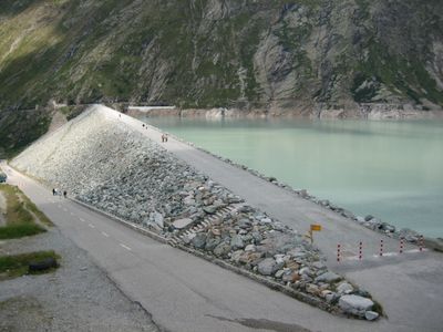
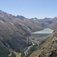
The Mattmark Dam is a hydroelectric structure in Saastal Valley that rises 120 meters high with a crown measuring 780 meters long. The structure holds a reservoir containing 101 million cubic meters of water.
The dam was built during the 1960s and was marked by a glacier collapse on August 30, 1965, that killed 88 workers. This tragedy became one of the most severe construction accidents in Swiss industrial history.
The dam reflects Switzerland's connection to Italian workers who arrived for construction in the 1960s. The site serves as a reminder of the human cost behind industrial development.
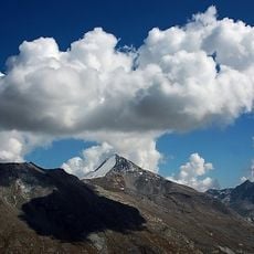
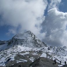
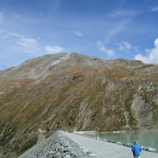
The site is best reached from Saastal and offers viewpoints overlooking the reservoir. Visitors should expect harsh weather conditions at this altitude, especially during colder months.
The dam contains approximately 10.5 million cubic meters of stone material, making it Switzerland's largest by volume. This immense volume allowed engineers to create one of the country's greatest water storage capacities.
The community of curious travelers
AroundUs brings together thousands of curated places, local tips, and hidden gems, enriched daily by 60,000 contributors worldwide.