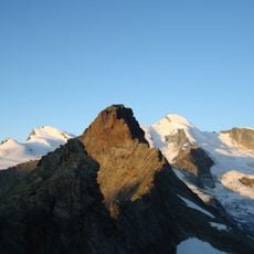
Stellihorn, Mountain summit in Pennine Alps, Switzerland
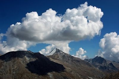
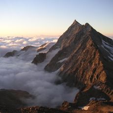
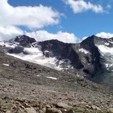
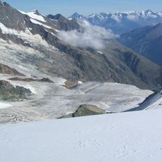
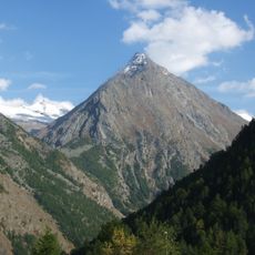
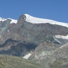
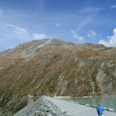
Stellihorn is a peak in the Pennine Alps that rises to around 3,436 meters, with two distinct summits forming its structure. The Nollen Glacier blankets the north face, and steep rock formations characterize the landscape around both elevations.
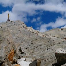
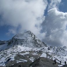
The peak was first summited in 1890 when a party of mountaineers reached the inner summit. This ascent marked an important moment in opening the area to the broader alpine climbing scene.
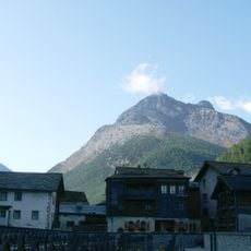
This peak draws mountaineers who seek the challenge of high-alpine climbing in the Valais region. Visitors experience the local tradition of mountain pursuits that defines how people connect with these summits.
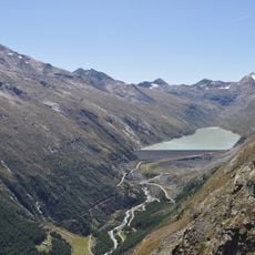
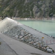
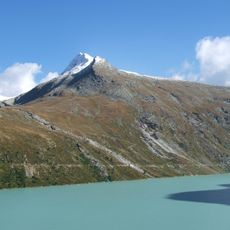
The best approach starts from Stausee Mattmark, with two main route options available for climbers. Bring high-altitude gear and glacier experience, as the terrain demands technical mountain skills.
Few visitors realize this peak has two summits at nearly identical heights, separated by just meters. This dual structure makes it special for climbers seeking to reach both points on a single trip.
The community of curious travelers
AroundUs brings together thousands of curated places, local tips, and hidden gems, enriched daily by 60,000 contributors worldwide.