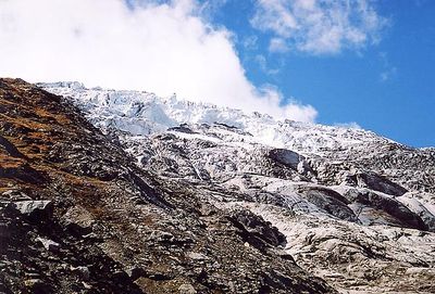
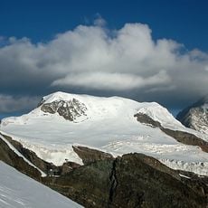
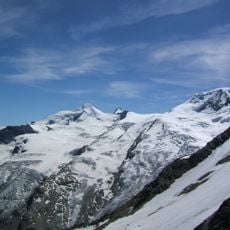
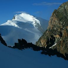
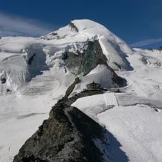
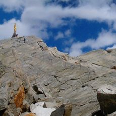
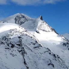
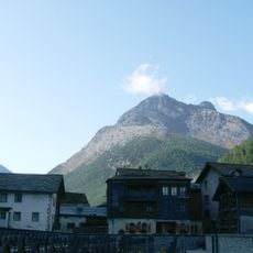
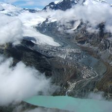
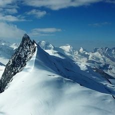
Allalin Glacier, Alpine glacier in Valais, Switzerland
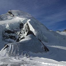
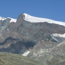
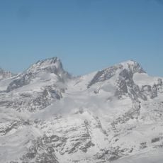
Allalin Glacier is a major ice field in the Pennine Alps that flows downward through high mountain terrain. A funicular railway carries visitors up to elevated areas where skiing and panoramic views are available.
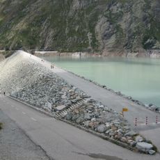
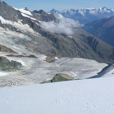
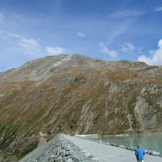
The ice field formed over thousands of years from accumulated snow in these high elevations. A major collapse in 1965 during dam construction marked a tragic moment in the region's history.
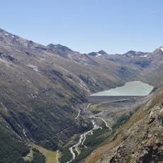
This glacier forms the heart of the Saas-Fee winter sports region and draws skiers and mountaineers from around the world. The high elevations here are used for skiing and mountain expeditions, making the area an international destination.
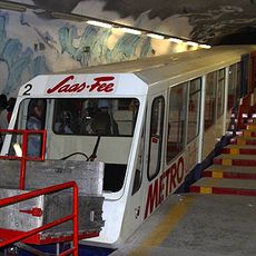
Access to the glacier area is by funicular railway, which takes you to the ski slopes and viewing platforms. Morning visits tend to be less crowded and offer better conditions for exploring the area.
Each spring, a ski race takes place here where athletes compete on a long downhill course. The event draws competitors and spectators who come to witness this dramatic competition.
The community of curious travelers
AroundUs brings together thousands of curated places, local tips, and hidden gems, enriched daily by 60,000 contributors worldwide.