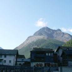
Alphubel, Alpine summit in Valais, Switzerland
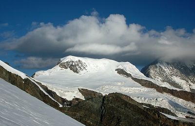
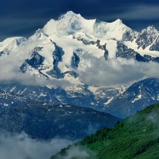
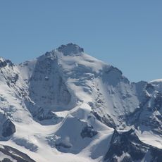
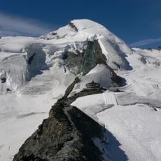
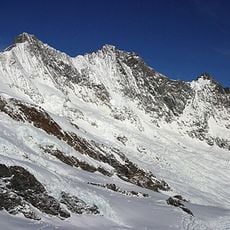
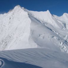
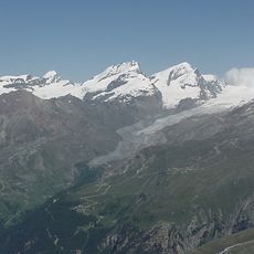
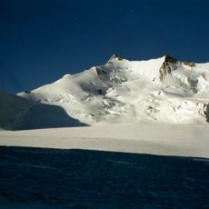
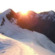
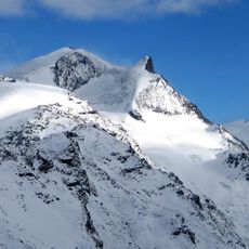
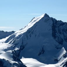
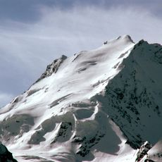
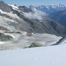
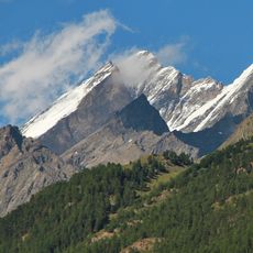
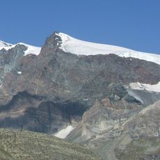
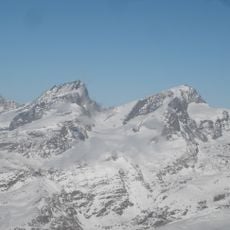
Alphubel is an alpine summit in Valais that rises to 4,206 meters and is defined by a broad ice-covered plateau that forms the core of the Fee Glacier. The eastern flank displays a heavily glaciated face, while the western side drops away in steep rocky cliffs.
The first ascent was completed on August 9, 1860, by Leslie Stephen and T.W. Hinchliff with guides Melchior Anderegg and Peter Perren. This achievement marked a significant moment in the exploration of the Valais Alps during the height of alpine mountaineering.
The name comes from Alemannic language, where 'Hubel' means hill, reflecting how locals perceived the mountain from different angles over time. This naming reveals the way inhabitants connected the peak to the landscape around them.
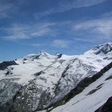
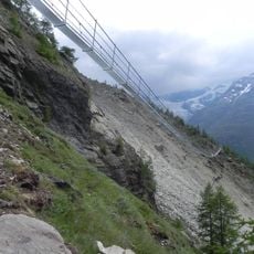
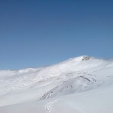
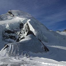
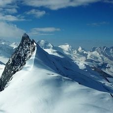
The normal route begins from Berghaus Längflue and crosses the Fee Glacier to reach the summit, a climb that typically takes 4 to 5 hours. Glacier experience and proper mountaineering gear are essential, as conditions on the ice change regularly with the weather and season.
The summit plateau is unusually broad for a mountain at this elevation, providing space for multiple climbers to stand at once. This wide flat area makes the top considerably less windy than many comparable high alpine peaks nearby.
The community of curious travelers
AroundUs brings together thousands of curated places, local tips, and hidden gems, enriched daily by 60,000 contributors worldwide.