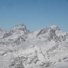
Oberrothorn, Mountain summit in Valais, Switzerland.
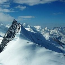
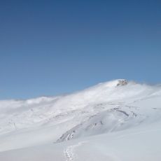
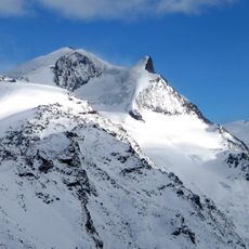
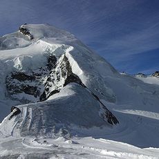
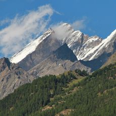
Oberrothorn is a rocky summit in the Valais Alps standing at 3,414 meters with steep slopes that rise sharply above the Zermatt valley. The route follows marked trails equipped with safety ropes across rough terrain to reach the top.
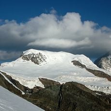
The sources record no first-ascent date or climbing history for the Oberrothorn. Its documented past is one of access: the summit is entirely ice-free, and a marked trail over the broad, scree-covered south-east ridge made it one of the highest walkable summits in the Alps. The Métro Sunnegga and the cable cars to Blauherd and Unterrothorn later shortened the approach from Zermatt.
The Oberrothorn is a popular destination for day hikers rather than alpinists: its ice-free summit and marked trail let walkers reach 3,414 m without climbing equipment. The route from Sunnegga via Blauherd and the Unterrothorn cable car station is the usual approach, and the broad, scree-covered south-east ridge is the final stretch.
The shortest approach starts at the Unterrothorn cable car station (3,104 m), reached by cable car from Sunnegga via Blauherd; the marked trail then climbs over the broad, scree-covered south-east ridge to the summit. Walking up from Zermatt via Findeln and Berghaus Fluhalp covers 1,800 m of ascent and takes about 5 hours. The summit itself is free of ice and snow.
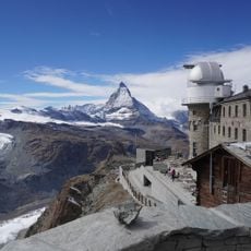
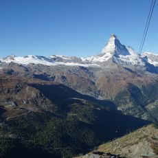
The summit is completely free of ice, and the final stretch of the marked route runs over a broad, scree-covered south-east ridge. From the top, more than twenty four-thousand-metre peaks of the Valais Alps can be picked out, among them the Dom, Täschhorn, Rimpfischhorn, Strahlhorn, Monte Rosa, Matterhorn, Dent Blanche, Ober Gabelhorn, Zinalrothorn and Weisshorn.
The community of curious travelers
AroundUs brings together thousands of curated places, local tips, and hidden gems, enriched daily by 94,239 contributors worldwide.