Findel Glacier, Alpine glacier in Valais, Switzerland
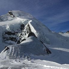
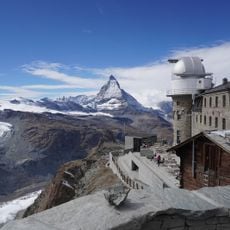
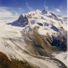
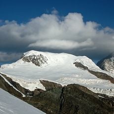
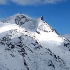
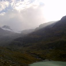
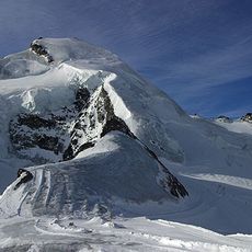
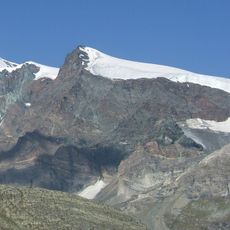
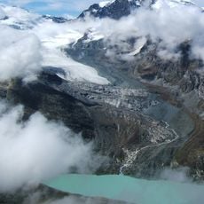
Findel Glacier is an alpine glacier in the Valais Alps that flows downward through steep mountain terrain, connecting higher peaks to lower valley regions. Its ice surface displays the typical features of an active glacier, including crevasses and moraines that reveal its constant movement.
At the height of the Little Ice Age in the mid-19th century, the Findel Glacier tongue reached down to about 2,100 m, below the tree line near the Findeln hamlet. Since then it has retreated more than 2.5 km, and its former link with the 3 km Adlergletscher is now broken. In October 2009, University of Zurich scientists compared measurements with a 2005 survey and found a loss of 49 million cubic metres of ice.
The Findel Glacier serves as an outdoor laboratory for Swiss glaciologists who conduct research on ice mechanics and glacier movement patterns throughout the seasons.
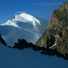
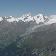
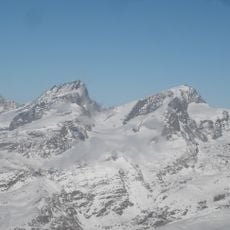
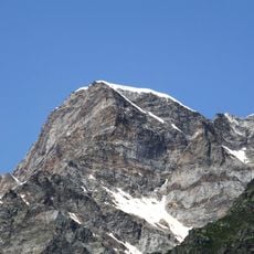
The glacier tongue ends at about 2,500 m, below the Strahlhorn and Rimpfischhorn; the Findelbach stream carries its meltwater down to the valley basin of Zermatt. The ice begins at the Cima di Jazzi on the Swiss-Italian border at 3,803 m. The upper slopes average an 18% gradient, so the terrain is steep throughout.
The glacier's meltwater forms the Findelbach, which joins the Gornera and Zmuttbach in the Zermatt basin to become the Matter Vispa, flowing down the Mattertal to the Rhone. In 2009, University of Zurich scientists measured the glacier and found it had lost 49 million cubic metres of ice since 2005.
The community of curious travelers
AroundUs brings together thousands of curated places, local tips, and hidden gems, enriched daily by 93,657 contributors worldwide.