
Täschehorn, mountain in Switzerland
Location: Goms District
Elevation above the sea: 3,008 m
GPS coordinates: 46.47257,8.16105
Latest update: March 15, 2025 21:14
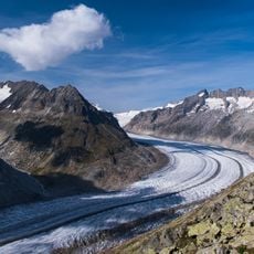
Aletsch Glacier
7.3 km
Finsteraarhorn
7.7 km
Eggishorn
6.9 km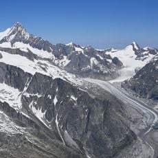
Fiescher Glacier
3 km
Tälligrattunnel
5.8 km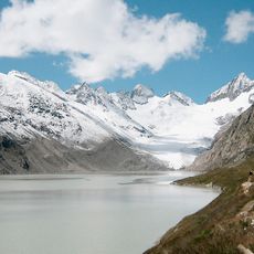
Oberaar Glacier
7.7 km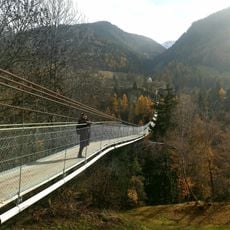
Goms Bridge
7 km
Oberaarhorn
6.6 km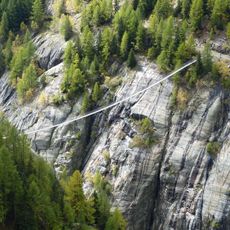
Aspi-Titter Hängebrücke
3.5 km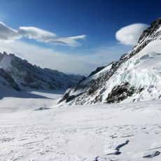
Fiescher Gabelhorn
6.8 km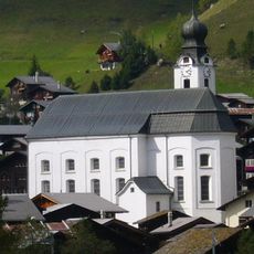
Birth of Mary parish church
6.3 km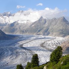
Strahlhorn
5.6 km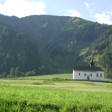
Mother of God chapel
5.2 km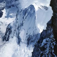
Studerhorn
6.8 km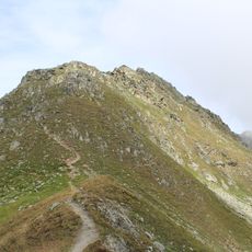
Risihorn
1.2 km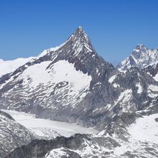
Finsteraarrothorn
5.1 km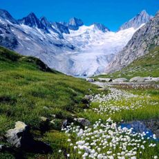
Oberaarrothorn
5.5 km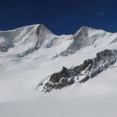
Schönbühlhorn
6.1 km
Nollen
5.8 km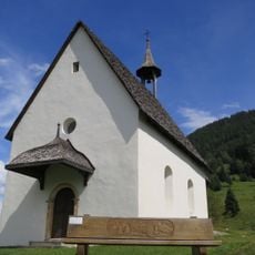
Holy Family chapel
7.2 km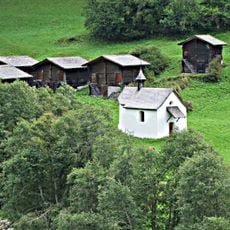
St. Sebastian chapel (emergency helpers chapel) with group haystack
4.9 km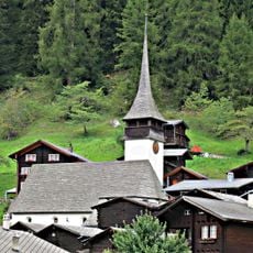
St. Theodul church with ossuary and cemetery
4.6 km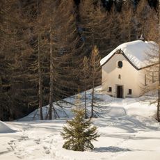
Holy Cross chapel in the Blinnental
7.3 km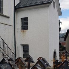
Ossuary chapel
6.3 km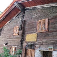
Birthplace of Cardinal Matthäus Schiner
7.2 km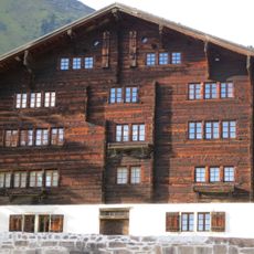
Taffiner house
6.2 km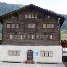
Municipal hall (Burgerhaus)
6.2 km
Konrad Carlen house
6.1 kmReviews
Visited this place? Tap the stars to rate it and share your experience / photos with the community! Try now! You can cancel it anytime.
Discover hidden gems everywhere you go!
From secret cafés to breathtaking viewpoints, skip the crowded tourist spots and find places that match your style. Our app makes it easy with voice search, smart filtering, route optimization, and insider tips from travelers worldwide. Download now for the complete mobile experience.

A unique approach to discovering new places❞
— Le Figaro
All the places worth exploring❞
— France Info
A tailor-made excursion in just a few clicks❞
— 20 Minutes