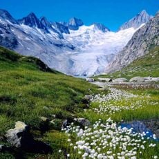
Finsteraarhorn, Mountain summit in the Bernese Alps, Switzerland
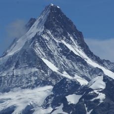
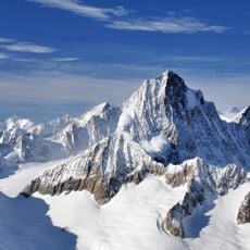
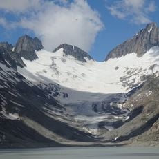
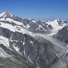
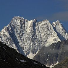
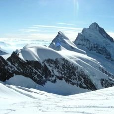
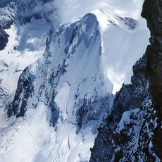
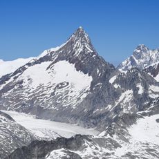
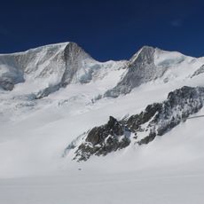
Finsteraarhorn is a 4,274-metre summit on the Bern-Valais border, the highest point of the Bernese Alps. Seen from the north-west or south-east along its ridges it is a sharp, shark-fin horn; across that direction it reads as a broad, low-lying triangle. The summit tip is dark, jagged amphibolite, cut by snow-filled gullies, with a wide glacier flowing past the lower left base.
On 16 August 1812 Arnold Abbühl, Joseph Bortis and Alois Volken, guides of the merchant Rudolph Meyer, reportedly reached the summit via the south-east ridge; whether they stood on the true top remains disputed. On 10 August 1829 Jakob Leuthold and Johann Währen, guides of geologist Franz Joseph Hugi, climbed the present normal route from the north-west side, while Hugi waited at the 4,088 m saddle now named after him.
The name Finsteraarhorn combines the dark rock of the summit with the Aar massif it crowns. The 1857 ascent by John Frederick Hardy, William Mathews and Edward Shirley Kennedy, with their guides, ended on the summit with the decision to found the Alpine Club, the world's first mountaineering club.
Climbers start their journey at the Finsteraarhorn hut located around 3,048 meters in elevation. The ascent requires technical gear such as ropes, ice axes, and crampons, with the climb typically taking about five hours to complete.
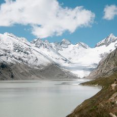
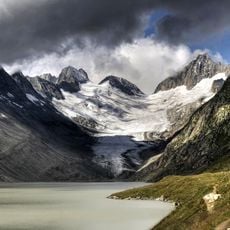
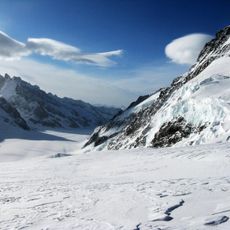
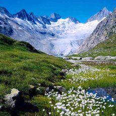
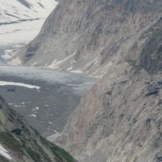
The peak stands as the highest point of the Rhine drainage basin and is surrounded by three major glaciers. These glacial features, including the Fiescher and the Great Aar Glaciers, shape the landscape and influence how water flows through the alpine region.
The community of curious travelers
AroundUs brings together thousands of curated places, local tips, and hidden gems, enriched daily by 94,236 contributors worldwide.