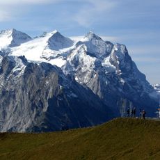
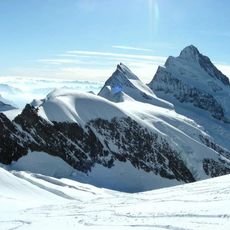
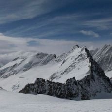
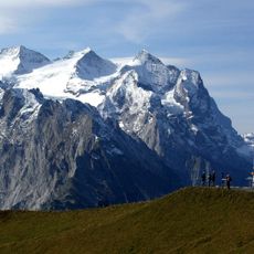
Lauteraarhorn, Mountain summit in Bernese Alps, Switzerland
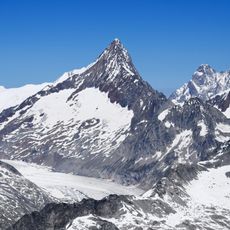
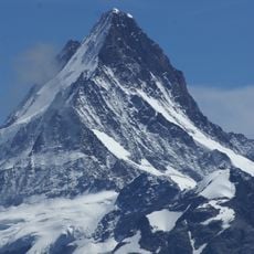
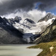
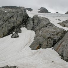
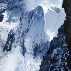
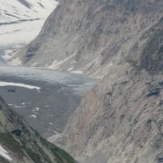
The Lauteraarhorn is a 4,042 m peak in the Bernese Alps, on the border of Grindelwald and Guttannen. It is linked to the higher Schreckhorn by the sharp Lauteraargrat, which drops only to the Schrecksattel at 3,914 m. Its steep rock faces above about 3,500 m are largely ice-free, while the Lauteraargletscher, Strahlegg-Gletscher and Schreckfirn lie on its flanks. Two subsidiary summits, at 4,015 m and 4,014 m, stand north of the main summit.
The first ascent took place on 8 August 1842, by Pierre Jean Édouard Desor, Christian Girard and Arnold Escher von der Linth, with the guides Melchior Bannholzer of Haslital and Jakob Leuthold of Grindelwald. The normal route today starts at the Aarbiwak (2,731 m) and climbs the south couloir and upper southeast ridge in about 5–6 hours, rated ZS- on the SAC scale.
The name joins Lauteraar, the glacier below, with Horn, the peak; the Lauteraargletscher feeds the Unteraargletscher, whose meltwater reaches the Aare and thus the Rhine. The 1842 first ascent by Desor, Girard, Escher von der Linth and guides Bannholzer and Leuthold is recorded in Alpine climbing history. Today the Aarbiwak (2,731 m) shelters climbers on the normal route.
Climbing this peak requires solid footing and experience with glacier travel in high mountain terrain. Visitors should expect multi-day expeditions and plan for shelter in remote mountain huts.
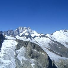
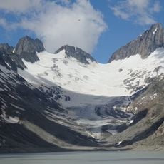
The peak marks a junction between several large glaciers that cut through the high mountains. This location makes it a key reference point for mountaineers navigating the glacier routes through this terrain.
The community of curious travelers
AroundUs brings together thousands of curated places, local tips, and hidden gems, enriched daily by 93,895 contributors worldwide.