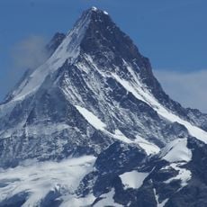
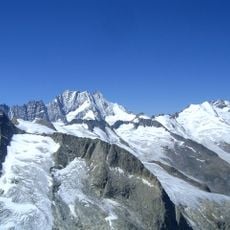
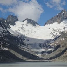
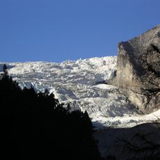
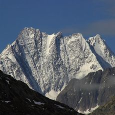
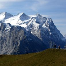
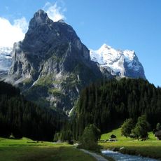
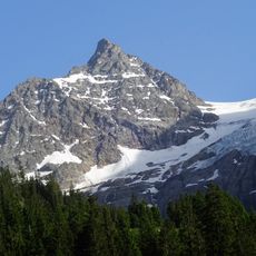
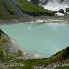
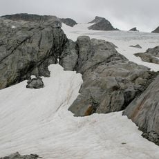
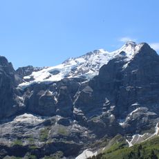
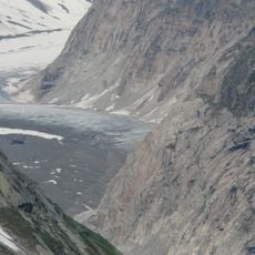
Bärglistock, Mountain summit in Interlaken-Oberhasli, Switzerland.
Bärglistock is a 3,655-metre gneiss peak in the Bernese Alps, east of Grindelwald. It stands at the tripoint of the Upper Grindelwald, Unteraar and Gauli glacier valleys. Three ridges radiate from the summit: a two-kilometre north ridge to the Bärglijoch, a three-kilometre southwest ridge toward the Nässihorn, and a southeast ridge that begins a nearly 20-kilometre chain of peaks.
The first ascent of the Bärglistock took place on 26 September 1864. The mountain lies at the edge of the UNESCO World Natural Heritage Swiss Alps Jungfrau-Aletsch and the Grimsel nature reserve. Its three ridges mark the municipal boundaries of Grindelwald, Innertkirchen and Guttannen.
The mountain's three ridges mark the municipal boundaries of Grindelwald, Innertkirchen and Guttannen. Its first ascent on 26 September 1864 is recorded without naming the climbers. Today mountaineers reach the summit mainly by the normal route over the Bärglijoch and the north ridge, starting from the Gleckstein, Dossen, Gauli or Lauteraar huts.
Access routes start from the Gleckstein Hut over the Upper Grindelwald Glacier, from the Dossen Hut over the Dossensattel and Rosenlaui Glacier to the Rosenegg, and from the Gauli Hut over the Gauli Glacier to the Bärglijoch; the normal route then follows the north ridge to the summit. The Lauteraar Hut approach crosses the Unteraar and Lauteraar glaciers. The peak lies on the edge of the Grimsel nature reserve and the UNESCO Swiss Alps Jungfrau-Aletsch World Heritage site.
The Bärglistock is the tripoint where the catchments of the Upper Grindelwald Glacier, the Unteraar Glacier and the Gauli Glacier meet. Its southeast ridge continues over the Ankenbälli (3,601 m), separated from the main summit by a deep notch. The first ascent was made on 26 September 1864.
The community of curious travelers
AroundUs brings together thousands of curated places, local tips, and hidden gems, enriched daily by 94,072 contributors worldwide.