
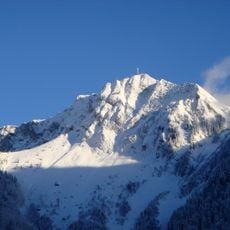
Le Pila, mountain in Switzerland
Location: Canton of Fribourg
Elevation above the sea: 1,855 m
GPS coordinates: 46.47457,6.97997
Latest update: April 13, 2025 20:45
Rochers de Naye
4.8 km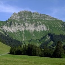
Vanil des Artses
1 km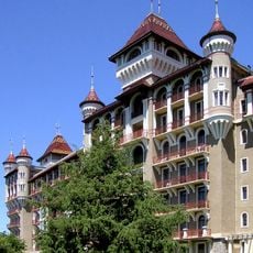
Caux Palace Hotel
5.7 km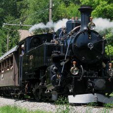
Blonay–Chamby Museum Railway
6.5 km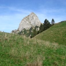
Dent de Jaman
3.3 km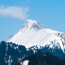
Dent de Lys
4.1 km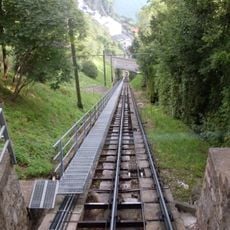
Territet–Glion funicular railway
6.6 km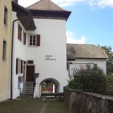
Musée historique de Montreux et de sa région
6.8 km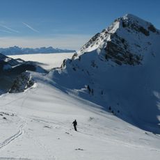
Teysachaux
6.7 km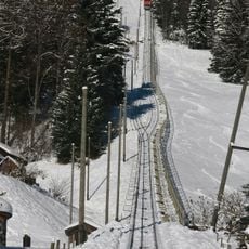
Les Avants–Sonloup railway
3.6 km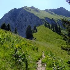
Cape au Moine
476 m
Dent de Corjon
5.1 km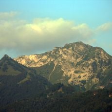
Merdasson
4.1 km
Pointe d'Aveneyre
6.6 km
Vanil Blanc
5.6 km
Planachaux
6.7 km
Corbetta
5.4 km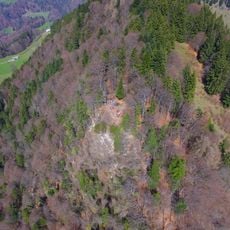
Saleuscex
5.2 km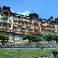
Grand Hôtel des Narcisses
5.8 km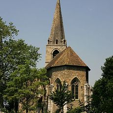
Saint-Vincent, Montreux
6.7 km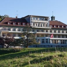
Préventorium et chapelle du Raosaire aux Sciernes d'Albeuve
5.1 km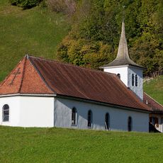
Chapelle du Saint-Esprit aux Sciernes d'Albeuve
4.9 km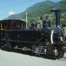
Chemin de fer-Musée Blonay-Chamby
5.7 km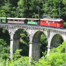
Chaulin, chemin de fer Blonay–Chamby
5.7 km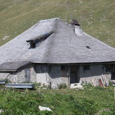
Alpine cabin
2.9 km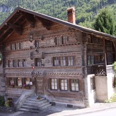
Former auberge de la Croix-Blanche, known as Vieux Chalet
5.2 km
Saanebrücke Lessoc
6 km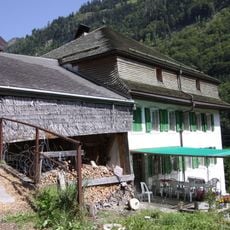
Pernet farmhouse
5.6 kmReviews
Visited this place? Tap the stars to rate it and share your experience / photos with the community! Try now! You can cancel it anytime.
Discover hidden gems everywhere you go!
From secret cafés to breathtaking viewpoints, skip the crowded tourist spots and find places that match your style. Our app makes it easy with voice search, smart filtering, route optimization, and insider tips from travelers worldwide. Download now for the complete mobile experience.

A unique approach to discovering new places❞
— Le Figaro
All the places worth exploring❞
— France Info
A tailor-made excursion in just a few clicks❞
— 20 Minutes