Cameroon line, Mountain range in Central Africa, Cameroon
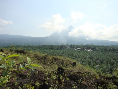
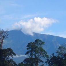
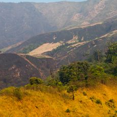
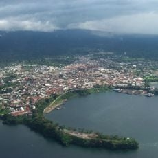
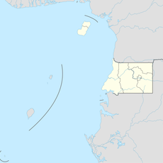
The Cameroon Line is a mountain range in Central Africa stretching from Mount Cameroon toward Lake Chad, formed entirely of volcanic rock. It marks a natural boundary between eastern Nigeria and western Cameroon while including both mainland peaks and offshore islands in the Gulf of Guinea.
The range formed millions of years ago through volcanic activity that spread across both oceanic and continental crust, shaping the region's geology. This ongoing geological process created the diverse landforms visible across the area today.
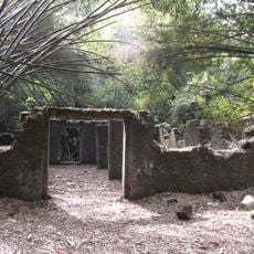
The mountain range shapes how local communities live and think about their surroundings, with volcanic features influencing settlements and daily routines. People in the region have woven knowledge about these peaks into their stories and traditions over generations.
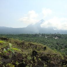
The range offers hiking options across multiple peaks with varying difficulty levels, though some summits require permits for access. Visitors should prepare for changing weather conditions and steep terrain, and it helps to use local guides for safer exploration.
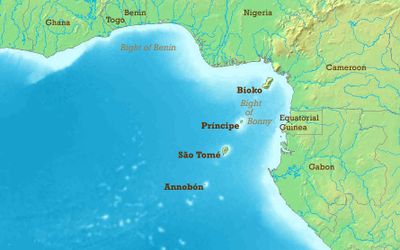
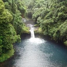
The range extends beneath the ocean surface to form volcanic islands including São Tomé, Príncipe, and Bioko in the Gulf of Guinea. These submarine connections create a remarkable geological system where mountain-building continued into the sea millions of years ago.
The community of curious travelers
AroundUs brings together thousands of curated places, local tips, and hidden gems, enriched daily by 60,000 contributors worldwide.