
Djohong, commune of Cameroon
Location: Adamawa
Elevation above the sea: 1,276 m
GPS coordinates: 6.83667,14.69333
Latest update: March 4, 2025 18:05
Mambilla Plateau
332.8 km
Chappal Waddi
329.9 km
Gashaka Gumti National Park
355.2 km
Lamidat de Rey-Bouba
212.5 km
Dzanga-Sangha Special Reserve
420.2 km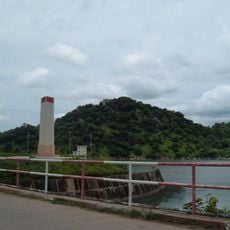
Lagdo Reservoir
246.8 km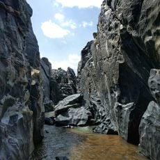
Gorges de Kola
345.1 km
Mont Ngaoui
30.9 km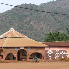
Lamidat de Banyo
317.8 km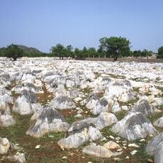
Bidzar
341.7 km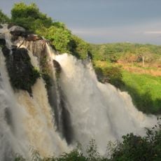
Chutes de Boali
430.9 km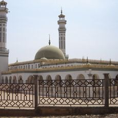
Lamido Grand Mosque
133.7 km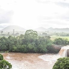
Chute de la Vina
129.3 km
Mbéré Valley National Park
20.9 km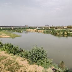
Bridge over Benoué
308.4 km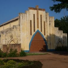
Sacred Heart Cathedral, Moundou
246.9 km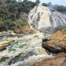
Chutes de Lancrenon
66.2 km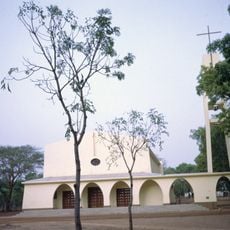
Cathedral of Sts. Peter and Paul, Pala
281.6 km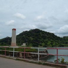
Barrage de Lagdo
271.2 km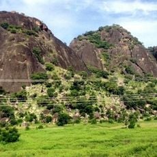
Three Sisters Rocks
403.8 km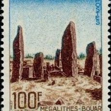
Bouar megaliths
122 km
Bouar Sub-Prefecture
126.2 km
Gashaka-Gumti National Park
348.9 km
Yola Town Post Office, Yola South, Adamawa State
358.5 km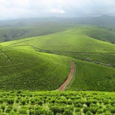
Kakara tea farm
394.6 km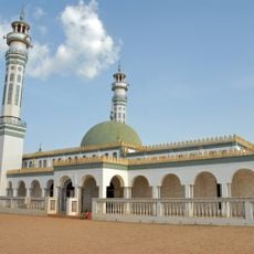
Lamidat de Ngaoundéré
133.4 km
Cathedral of Our Lady of the Immaculate Conception, Batouri
270.3 km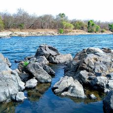
Faro Reserve
265.6 kmReviews
Visited this place? Tap the stars to rate it and share your experience / photos with the community! Try now! You can cancel it anytime.
Discover hidden gems everywhere you go!
From secret cafés to breathtaking viewpoints, skip the crowded tourist spots and find places that match your style. Our app makes it easy with voice search, smart filtering, route optimization, and insider tips from travelers worldwide. Download now for the complete mobile experience.

A unique approach to discovering new places❞
— Le Figaro
All the places worth exploring❞
— France Info
A tailor-made excursion in just a few clicks❞
— 20 Minutes