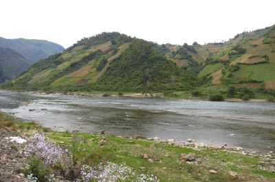
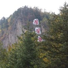
Yalu River, Transboundary river in Liaoning, China.
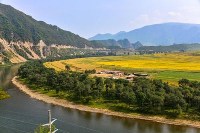
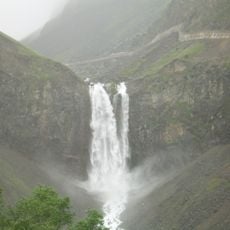
The waterway stretches 795 kilometers (494 miles) from the Changbai Mountains through northeastern Asia, forming the natural border between China and North Korea. Water flows southward and reaches the Yellow Sea, passing through mountain terrain and plains.
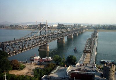
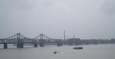
The boundary became a military line between opposing forces during the Korean conflicts from 1950 to 1953. Before the conflicts, it had served for centuries as a traditional trade route between regions.
The name comes from two Chinese characters describing a duck and the shade greenish blue, inspired by the color of the water and native waterfowl. The color shows best after rainfall or in autumn.
Several dams along the course generate power and support transport and fishing. Access is allowed in some shore areas, but respect border regulations.
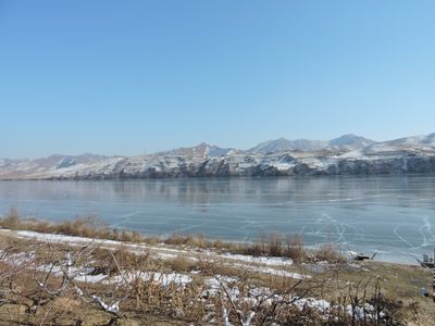
During winter, sections freeze completely and form natural paths between the two countries. Locals use this ice cover for brief crossings when conditions allow.
The community of curious travelers
AroundUs brings together thousands of curated places, local tips, and hidden gems, enriched daily by 60,000 contributors worldwide.