Enable Location

We need your location to show you interesting places around you

Discover nearby places

Find interesting locations and hidden gems around you

Precise directions

Get accurate directions and distances to places

Your location is never shared with other users. It's only used when you tap the location button.

Jong-il Peak

Log in to your account

Start exploring — it's free

Trusted by 63,703 travelers worldwide

Continue with Google
Continue with Apple
or

We will send you a code to connect

By continuing, you accept our Terms and Conditions and our Privacy Policy

Check your inbox

We've sent a pincode in your inbox. Please enter the code below.

Jong-il Peak
Discussion Reviews 1 Photos
3.3k Popularity

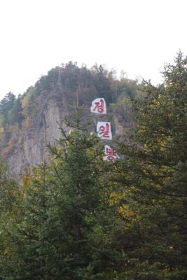
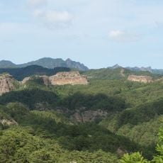
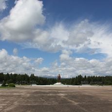
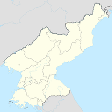
Jong-il Peak, Mountain summit in Samjiyon, North Korea

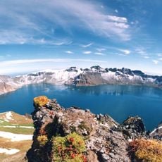
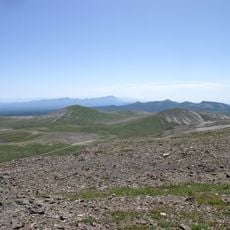
Jong-il Peak rises to 1,798 meters with steep southern cliffs dropping about 100 meters and gentler northern slopes connecting to the neighboring Saja Peak. The mountain is covered in dense forest and shaped by several distinctive rock formations that stand out from the surrounding terrain.

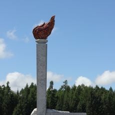
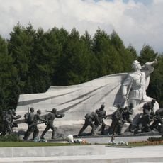
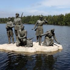
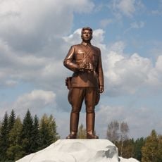
The peak was originally called Changsu and served as a hidden base for anti-Japanese resistance fighters between 1930 and 1940 during the occupation period. Its renaming in 1988 marked an important shift in how the location was recognized and remembered locally.

Three granite plates with the peak's name carved in red letters mark the southern rock face and connect the location to North Korean leadership. The site holds symbolic meaning in local identity and is frequently visited by those seeking to understand the area's cultural landmarks.

Access to the peak requires special permits and visits are typically organized only with a guide. Winter climbing is not feasible due to extreme subarctic weather conditions and should be avoided.

The mountain hosts over 300 plant species, including 16 tree varieties and 40 shrub types, with Manchurian Fir and Jezo Spruce dominating the landscape. This plant diversity makes the location an important area for regional wildlife and shows how steep terrain protects different ecosystems.

The community of curious travelers

AroundUs brings together thousands of curated places, local tips, and hidden gems, enriched daily by 60,000 contributors worldwide.

Start exploring
Location
Elevation above the sea
1,798 m
GPS coordinates
41.86408,128.15551
Latest update
December 12, 2025 09:00
Reviews
Share your experience

No review yet

Discussions
Start a discussion...

No discussion yet

« Jong-il Peak - Mountain summit in Samjiyon, North Korea » is provided by Around Us (aroundus.com). Images and texts are derived from Wikimedia project under a Creative Commons license. You are allowed to copy, distribute, and modify copies of this page, under the conditions set by the license, as long as this note is clearly visible.

Discover hidden gems everywhere you go!

From secret cafés to breathtaking viewpoints, skip the crowded tourist spots and find places that match your style. Our app makes it easy with voice search, smart filtering, route optimization, and insider tips from travelers worldwide. Download now for the complete mobile experience.

Around Us App Screenshot

A unique approach to discovering new places

Le Figaro

All the places worth exploring

France Info

A tailor-made excursion in just a few clicks

20 Minutes

Around Us
Travel Guide & Maps
Download

Send to your phone

QR Code
1

Open the camera app on your mobile.

2

Point at the QR code with your camera. A notification will appear.

3

Tap the notification to open the link.