
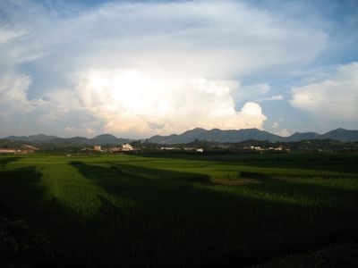
Lingshan County, county
Location: Qinzhou
Elevation above the sea: 63 m
Website: http://www.gxls.gov.cn/
Website: http://gxls.gov.cn
GPS coordinates: 22.43333,109.28333
Latest update: April 1, 2025 09:31
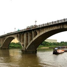
Ka Long Bridge
169.1 km
Guangxi Finance Plaza
100.3 km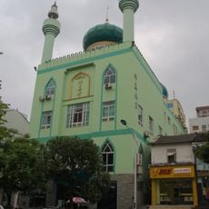
Nanning Mosque
108.4 km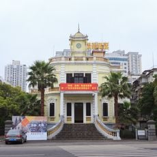
Former site of French Minister Department and French Army Headquarters in Guangzhouwan
180.3 km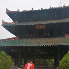
Zhenwu Pavilion
140.2 km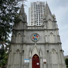
Cathedral of St. Victor
180.7 km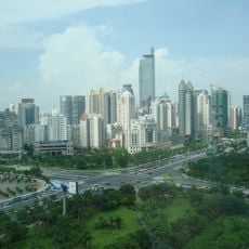
Diwang International Commerce Center
103.6 km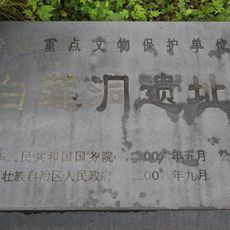
Bailiandong site
198.7 km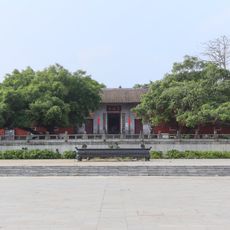
Leizu Temple
189 km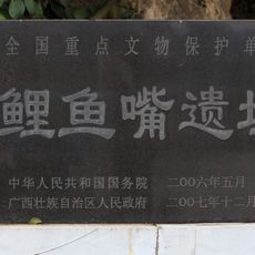
Liyuzui
206.2 km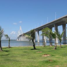
Zhanjiang Bay Bridge
176.3 km
大士阁
106.1 km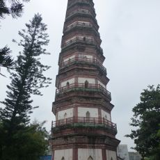
Sanyuan Pagoda
189.7 km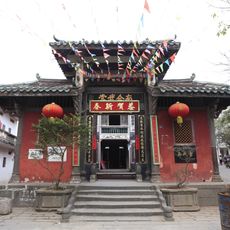
Zhenwu Tang
189.5 km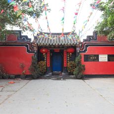
Yiling Tang
189.8 km
Fubo Temple (Leizhou)
189.5 km
Tianning Temple
188.6 km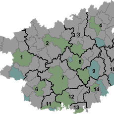
Liuchen Reservoir
138 km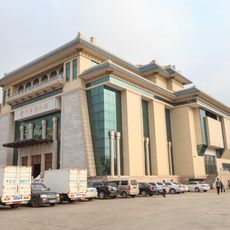
Leizhou Museum
188.6 km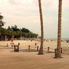
Playa de Beihai
114.4 km
Beitan Reservoir
37 km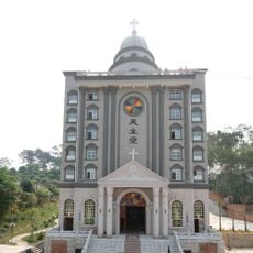
Cathedral of Our Lady of China
107.5 km
Jintian Reservoir
153.9 km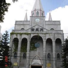
Église du Sacré-Cœur-de-Jésus de Nanning
107.5 km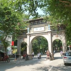
West Mountain National Park (Guangxi)
134 km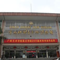
Guangxi Zhuang Autonomous Region Museum
106.4 km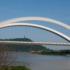
Nanning Bridge
101.9 km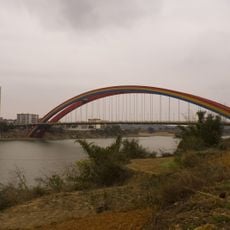
Yongjiang Bridge
89.9 kmReviews
Visited this place? Tap the stars to rate it and share your experience / photos with the community! Try now! You can cancel it anytime.
Discover hidden gems everywhere you go!
From secret cafés to breathtaking viewpoints, skip the crowded tourist spots and find places that match your style. Our app makes it easy with voice search, smart filtering, route optimization, and insider tips from travelers worldwide. Download now for the complete mobile experience.

A unique approach to discovering new places❞
— Le Figaro
All the places worth exploring❞
— France Info
A tailor-made excursion in just a few clicks❞
— 20 Minutes