Sanhe Hui Ethnic Township, Ergun City, Inner Mongolia
Location: Ergun City
Elevation above the sea: 645 m
GPS coordinates: 50.45094,120.10050
Latest update: March 25, 2025 11:52

Daursky Nature Reserve
335.8 km
Alkhanay National Park
473.6 km
Akatuy katorga
175.6 km
Hulun Lake
252.7 km
Aginsky Datsan
402.7 km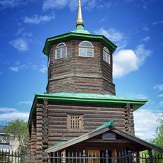
Decabrists Church, Chita
491.1 km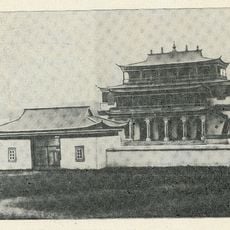
Tsugolskij Datsan
321.9 km
Mengwu Xiboge Sum
99.3 km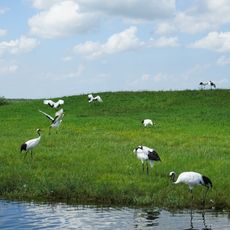
Zhalong Nature Reserve
472.5 km
Wudalianchi Geological Park
485.4 km
Manzhouli Port
215.4 km
Transbaikalian historical museum in Chita
491.9 km
Кондуйский городок
186.5 km
Bukui Mosque
445.3 km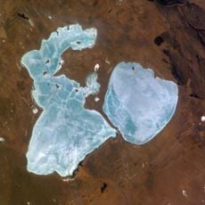
Torey Lakes
320.4 km
Evenk Ethnic Sum
73.7 km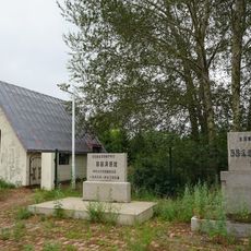
Ang'angxi sites
452.1 km
Landscapes of Dauria
338.1 km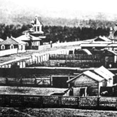
Покровский монастырь (Чита)
490.7 km
Ayachi, Amur Oblast
418.5 km
Tazicheng Site
479.9 km
Текан (Амурська область)
415.7 km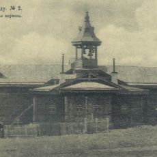
St. Alexander Church at Bohetu Train Station
229.8 km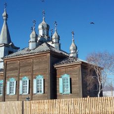
Никольская церковь
117 km
Ягодний (Амурська область)
413.8 km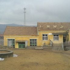
牛耳河镇
167.6 km
Réserve naturelle du lac Dalai
283 km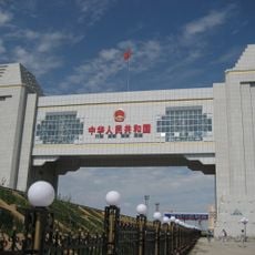
Manzhouli-Zabaykalsk railway crossing
217.5 kmReviews
Visited this place? Tap the stars to rate it and share your experience / photos with the community! Try now! You can cancel it anytime.
Discover hidden gems everywhere you go!
From secret cafés to breathtaking viewpoints, skip the crowded tourist spots and find places that match your style. Our app makes it easy with voice search, smart filtering, route optimization, and insider tips from travelers worldwide. Download now for the complete mobile experience.

A unique approach to discovering new places❞
— Le Figaro
All the places worth exploring❞
— France Info
A tailor-made excursion in just a few clicks❞
— 20 Minutes