Shek Kip Mei, Geographic landform in New Kowloon, Hong Kong.
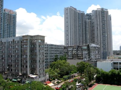
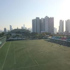
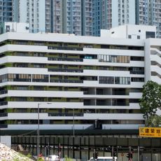
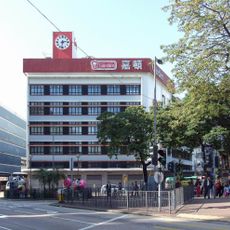
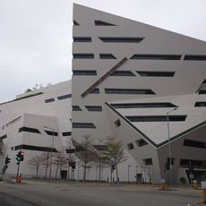
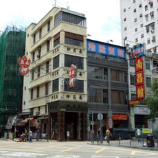
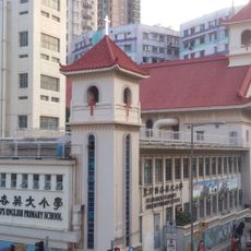
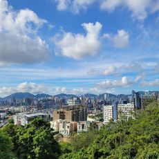
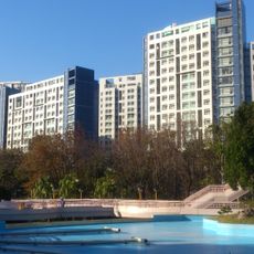
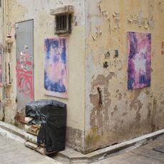
Shek Kip Mei is a geographic landform on the northeastern Kowloon Peninsula where residential buildings and community facilities spread across the border between Sham Shui Po and Kowloon Tong districts. The area is characterized by multi-story apartment blocks, public spaces, and dense urban development that reflects Hong Kong's modern housing patterns.
The area was established following a catastrophic fire in 1953 that displaced 53,000 residents and prompted the creation of Hong Kong's first public housing program. This response to the crisis became a turning point in urban development and laid the foundation for the residential district that exists today.
The neighborhood reflects Hong Kong's journey from post-war struggles to urban growth through its role in reshaping how people lived. Walking through the streets, you can see how this place became a symbol of progress and renewal for generations of residents.
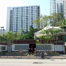
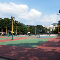
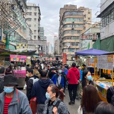
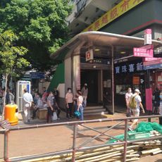
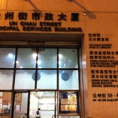
The area is well connected by the Shek Kip Mei MTR station, which provides easy access to the wider public transport network. The dense residential layout means sidewalks and public spaces are typically busy, especially during commuting hours.
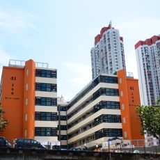
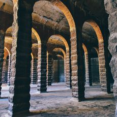
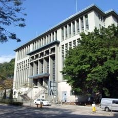
Block 41, also known as Mei Ho House, is the last surviving Mark II building from the original housing estate and now operates as a youth hostel. The building provides a rare glimpse of early public housing design and how residents lived in the early days.
The community of curious travelers
AroundUs brings together thousands of curated places, local tips, and hidden gems, enriched daily by 60,000 contributors worldwide.