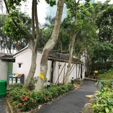
Mount Collinson, Mountain summit in Southern District, Hong Kong.
Mount Collinson is a summit in Hong Kong's Southern District that rises approximately 350 meters above sea level. The climb passes through thick vegetation and natural rock outcrops that define the hiking experience.
Mount Collinson is named after Thomas Collinson, who drew the first accurate map of Hong Kong. The peak rises 348 metres and lies within Shek O Country Park, the highest of its seven named peaks. Tai Tam Gap Correctional Institution and Cape Collinson Crematorium stand on its slopes.
The mountain is named after Thomas Collinson, who drew the first accurate map of Hong Kong. Cape Collinson and Collinson Road at its foot carry the same name, and several cemeteries line the road below the slope.
The mountain is accessible from several starting points, with the most straightforward route beginning from Shek O Road near Cape Collinson. Wear proper footwear and bring water, as the path can be steep with limited shade along the way.
Mount Collinson is the highest of the seven named peaks inside Shek O Country Park, a 7.01 km² area in the southeastern corner of Hong Kong Island. Its 348 m summit carries a marking pillar even though no paved trail leads there; the routes up are informal paths that signs advise against entering.
The community of curious travelers
AroundUs brings together thousands of curated places, local tips, and hidden gems, enriched daily by 93,500 contributors worldwide.