Enable Location

We need your location to show you interesting places around you

Discover nearby places

Find interesting locations and hidden gems around you

Precise directions

Get accurate directions and distances to places

Your location is never shared with other users. It's only used when you tap the location button.

Waltershof

Log in to your account

Start exploring — it's free

Trusted by 61,449 travelers worldwide

Continue with Google
Continue with Apple
or

We will send you a code to connect

By continuing, you accept our Terms and Conditions and our Privacy Policy

Check your inbox

We've sent a pincode in your inbox. Please enter the code below.

Waltershof, Port district in Hamburg-Mitte, Germany.

Description

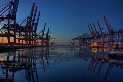
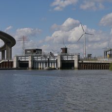
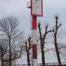
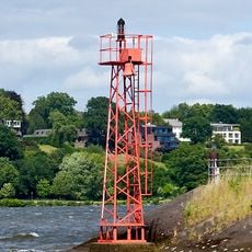
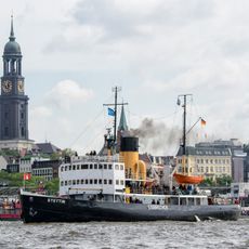
Waltershof is a port district in Hamburg-Mitte situated along the Norderelbe River and operates as a major container handling terminal. The area includes multiple harbor facilities for maritime traffic and features modern container cranes.

History

The district was originally a residential area but transformed into an industrial zone following the 1962 North Sea flood and subsequent port expansion plans. This transformation shaped Hamburg's modern container shipping operations.

Culture

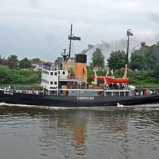
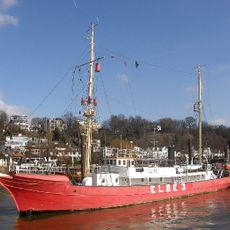
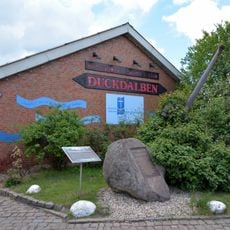
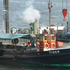
The port district serves as a gathering place for seafarers from across the globe who meet during breaks between voyages. The multilingual and multinational character visible in the area reflects its role as an international maritime hub.

Practical

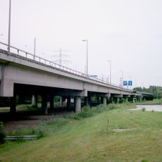
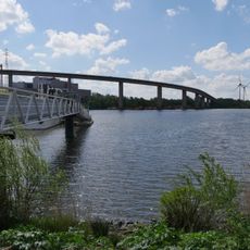
The district connects to other areas through the Elbtunnel and the Köhlbrand Bridge, making car access convenient. As an industrial zone, it suits business visits more than leisure activities unless you have a specific interest in port operations.

Did you know?

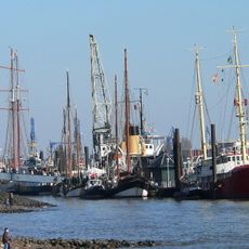
Despite its massive industrial setup with numerous modern container cranes at the Burchardkai terminal, the area has almost no permanent residents. This contrast between the scale of port operations and the nearly empty landscape makes the place particularly striking.

Location
Elevation above the sea
-2 m
Shares border with
Finkenwerder, Steinwerder, Altenwerder, Othmarschen, Altona-Altstadt, Ottensen
GPS coordinates
53.52789,9.90068
Latest update
December 7, 2025 20:25

AroundUs brings together thousands of curated places, local tips, and hidden gems, enriched daily by 60,000 contributors worldwide. Discover all places nearby (Hamburg-Mitte).

« Waltershof - Port district in Hamburg-Mitte, Germany » is provided by Around Us (aroundus.com). Images and texts are derived from Wikimedia project under a Creative Commons license. You are allowed to copy, distribute, and modify copies of this page, under the conditions set by the license, as long as this note is clearly visible.

Discover hidden gems everywhere you go!

From secret cafés to breathtaking viewpoints, skip the crowded tourist spots and find places that match your style. Our app makes it easy with voice search, smart filtering, route optimization, and insider tips from travelers worldwide. Download now for the complete mobile experience.

Around Us App Screenshot

A unique approach to discovering new places

Le Figaro

All the places worth exploring

France Info

A tailor-made excursion in just a few clicks

20 Minutes

Around Us
Travel Guide & Maps
Download

Send to your phone

QR Code
1

Open the camera app on your mobile.

2

Point at the QR code with your camera. A notification will appear.

3

Tap the notification to open the link.